Colwall Walks
![]()
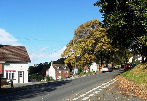
![]() This village in Worcestershire includes a train station and a fine hotel making it a great spot for exploring the surrounding Malvern Hills.
This village in Worcestershire includes a train station and a fine hotel making it a great spot for exploring the surrounding Malvern Hills.
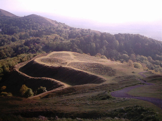
This circular walk from the village visits Herefordshire Beacon and British Camp which are located just a couple of miles to the south.
The walk starts in the village near to the Colwall Park Hotel and the train station. From here head east to pick up the Worcestershire Way which you can then follow south towards Hangman's Hill. Here you turn north to follow footpaths up to Herefordshire Beacon.
You continue north past Wynds Point, Holy Well and Upper Wyche. Here you turn south through Upper Colwall before returning to the village.
Postcode
WR13 6QG - Please note: Postcode may be approximate for some rural locationsColwall Ordnance Survey Map  - view and print off detailed OS map
Colwall Open Street Map  - view and print off detailed map
Colwall OS Map  - Mobile GPS OS Map with Location tracking
Colwall Open Street Map  - Mobile GPS Map with Location tracking
Walks near Colwall
- Herefordshire Beacon and British Camp - This walk climbs to Herefordshire Beacon in the Malvern Hills Area of Outstanding Natural Beauty
- Eastnor Deer Park - This walk follows a section of the Geopark Way long distance trail through the beautiful Eastnor Deer Park
- Malvern Hills - This walk takes you the full length of the Malvern Hills from End Hill in North Malvern to Chase End Hill at the southern end
- Hanley Swan - This Worcestershire based village is located in a pleasant rural spot in the Malvern Hills area of the county
- Worcestershire Beacon - This circular walk takes you to the high point of the Malvern Hills at Worcestershire Beacon
- Upton Upon Severn - This small town in Worcestershire is ideally positioned for river and country walks
- Midsummer Hill - This walk climbs to the Iron Age hill fort which spans Midsummer Hill in the Malvern Hills AONB
- Worcestershire Way - This walk takes you from Bewdley to Great Malvern where you can enjoy splendid views of the Malvern Hills.
The path starts on the River Severn in Bewdley and heads south, passing the villages of Abberley and Martley on your way to Great Malvern - Geopark Way - Meandering its way for 109 miles through the Abberley and Malvern Hills Geopark from Bridgnorth to Gloucester, the Geopark Way passes through stunning countryside as it explores 700 million years of geological history
Pubs/Cafes
Back in the village head to the Colwall Park Hotel for some post exercise relaxation and refreshment. Here you can enjoy a delicious afternoon tea in the cosy interior or outside in the lovely garden. You can find them at Walwyn Rd, WR13 6QG.
On the walk you could also take a pit stop at the Chase Inn. There's a great menu and a really splendid garden area with lovely views towards the Black Mountains. You can find the pub in Upper Colwall, just to the south of Worcestershire Beacon, with a postcode of WR13 6DJ for your sat navs.
Dog Walking
The woodland and hills make for a fine walk for fit dogs. The hotel mentioned above is also dog friendly.


