Minstead Walks
![]()
![]() This pretty New Forest village is located just north of Lyndhurst. The little village is very attractive with a photogenic village green, thatched cottages, a popular local pub and a historic 13th century church. It also has literary connections with novelist Sir Arthur Conan Doyle, who is buried in the churchyard here.
This pretty New Forest village is located just north of Lyndhurst. The little village is very attractive with a photogenic village green, thatched cottages, a popular local pub and a historic 13th century church. It also has literary connections with novelist Sir Arthur Conan Doyle, who is buried in the churchyard here.
This walk from Minstead visits some of the highlights of the area including Furzey Gardens, the Rufus Stone, Castle Malwood Walk and the Long Beech Enclosure.
The walk starts in the village and follows a footpath north west to visit the lovely Furzey Gardens. Here you'll find a picturesque lake, Azaleas, Rhododendrons and woodland glades.
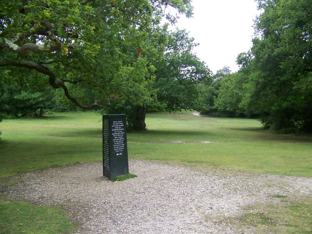
After exploring the gardens you continue north toward Stoney Cross where you cross the A road on the underpass. Head north east and you will soon come to the Rufus Stone. This historical stone apparently marks the spot where King William II was fatally wounded with an arrow, during a royal hunting outing in the Forest, in the year 1100. It is so called because the King's nickname was Rufus, due to his ruddy complexion and red hair. He was the son of King William I who was responsible for designating the area as the royal hunting ground that we know today as the New Forest. It's a lovely peaceful spot ideal for short walks and a picnic.
From the stone you then head north west to visit Tom Pook's Hill, the Long Beech Enclosure and Castle Malwood Walk. There's some nice woodland trails to follow around here before returning to the village on the same paths via Stoney Cross.
Minstead Ordnance Survey Map  - view and print off detailed OS map
Minstead Open Street Map  - view and print off detailed map
Minstead OS Map  - Mobile GPS OS Map with Location tracking
Minstead Open Street Map  - Mobile GPS Map with Location tracking
Pubs/Cafes
Back in the village the Trusty Servant is a fine choice for some post walk refreshments. It's in a lovely spot overlooking the green, with its own stocks and memorial. They have a large outdoor seating area where you can often see ponies ambling through the unspoilt village. There's a charming interior with beams, roaring log fires and lots of local pictures on the wall. They do great food and can be found at 2 Compton Cottages with a postcode of SO43 7FY for your sat navs.
Near the Rufus Stone there's The Sir Walter Tyrrell to consider. It's aptly named after the Anglo-Norman nobleman who apparently shot the arrow that killed King Rufus. They have a very good menu and a cosy interior with log fires. Outdoors there's a garden area for finer weather. You can find the pub just a short stroll north from the stone at a postcode of SO43 7HD.
Dog Walking
The woodland trails are ideal for dog walking but only assistance dogs are allowed in Furzey Gardens. The Trusty Servant mentioned above is dog friendly.
Further Information and Other Local Ideas
A few miles west of the village there's the Bolderwood Deer Sanctuary which you could visit on the Acres Down Walk. The walk starts from the nearby Acres Down car park and visits the pretty streams and woodland of the Highland Water Inclosure.
For more walking ideas in the area see the New Forest Walks page.
Cycle Routes and Walking Routes Nearby
Photos
Minstead Village Green. To the right of the green is the Trusty Servant Inn and to the left is the village shop
The 13th century Minstead Church.
The grave of the novelist Sir Arthur Conan Doyle, creator of famous detective Sherlock Holmes, is under a large tree in the churchyard. Sir Arthur was originally buried in a vertical position in Crowborough and re-interred in Minstead by the family of his deceased first wife after the death of the second Lady Conan Doyle. The village figured prominently in Conan Doyle's historical novel The White Company. Alleyne Edricson, the main character is the second son of the late Franklin of Minstead and brother of the Simon, Socman of Minstead.
Trusty Servant Inn. The village pub has an unusual sign of a man with a donkeys ears, a pig's snout and a stag's feet. The snout has padlocked lips to signify discretion. This implies some past link with Winchester College, where a similar wall-painting of this legendary creature hangs outside the kitchen of the college.
The Rufus Stone. The Rufus Stone was erected by Earl De La Warr in 1745 and marks the presumed spot where William II was killed by an arrow fired by Walter Tyrrell, while hunting on 2nd August 1100. The killing was said to be accidental. The King's youngest brother, Henry, hearing of his brother's death, rode to Winchester, seized the treasury and had himself proclaimed king by the barons, forestalling the claims of his eldest brother, Robert of Normandy.
New Forest ponies grazing near Stricknage Wood, southwest of the Rufus Stone. Typical scene of ponies grazing on the lawn with a clump of holly and oak in the background.
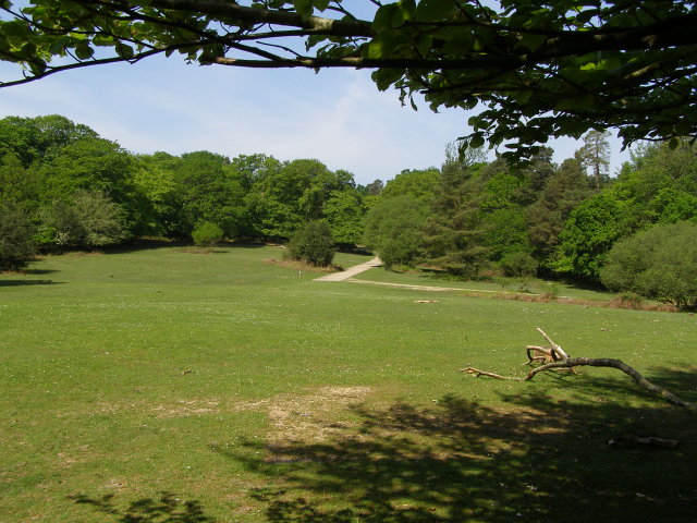
Clearing between Blackwool and King's Garn Gutter Inclosure, New Forest. Looking uphill towards the concrete road that runs up through the Long Beech caravan and camp site on the southern edge of King's Garn Gutter Inclosure. A path off to the left leads up Tom Pook's Hill, the cycle track off to the right enters King's Garn Gutter Inclosure.
Ford between Stricknage Wood and Blackthorn Copse. This ford crosses a stream on the damp area of lawn between Stricknage Wood and Blackthorn Copse.


