Muckish Railway Walk
![]() This walking trail runs along the old Letterkenny to Burtonport railway line near Falcarragh in County Donegal.
This walking trail runs along the old Letterkenny to Burtonport railway line near Falcarragh in County Donegal.
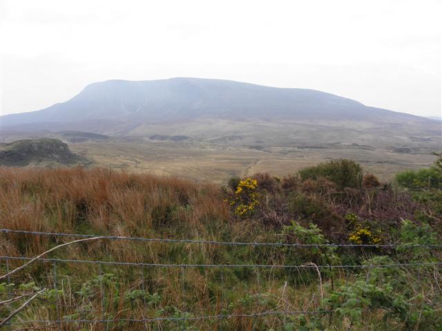
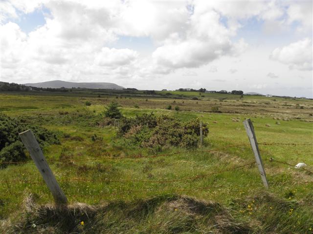
The route starts of just east of Lough Agher and follows the trail past the pretty lough and Muckish Mountain. On the way there are views of the Roy River and
in the peaks of the Derryveagh Mountains.
You can extend the walk by climbing to Muckish Mountain to the north where you can enjoy wonderful views to the coast.
To continue your walking in the area head west and try the the popular Dungloe River Walk with its delightful fairy woodland garden and views of Lough Dungloe.
Muckish Railway Walk Open Street Map  - view and print off detailed map
Ireland Walking Map - View All the Routes in the Country>>
Muckish Railway Walk Open Street Map  - Mobile GPS Map with Location tracking
Further Information and Other Local Ideas
Just to the south west you will find the wonderful Poison Glen in Dunlewey. The glen includes some beautiful scenery with a pretty stream, an old arched footbridge, spectacular mountain views and some splendid flora and fauna to see. The glen is also close to the stunning Glenveagh National Park where you could pick up the Glenveagh Bridle Path. The shared cycling and walking path will take you through the glen to the historic Glenveagh Castle where you can explore the beautiful gardens and learn about the castle's fascinating history.
To the east you can pick up the Donegal Boardwalk and enjoy a fine coastal walk along the lovely Sheephaven Bay. Near here there's more nice waterside paths along Lough Salt. You can also climb to Loughsalt mountain for some fine views over the lake and surrounding area.
To the north is the Horn Head Loop. The walk showcases stunning cliffs, some rising to a height of 600 feet, and offering panoramic views of the Atlantic Ocean.
To the north west there's Bloody Foreland where there are fine cliff top trails and views of nearby islands such as Tory Island.


