Irish National Famine Way Walk
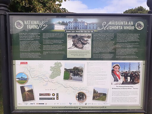
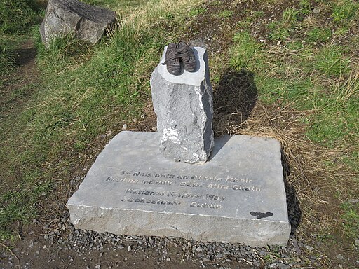
 This long distance walking trail runs from Strokestown Park House in Roscommon to the docks in Dublin.
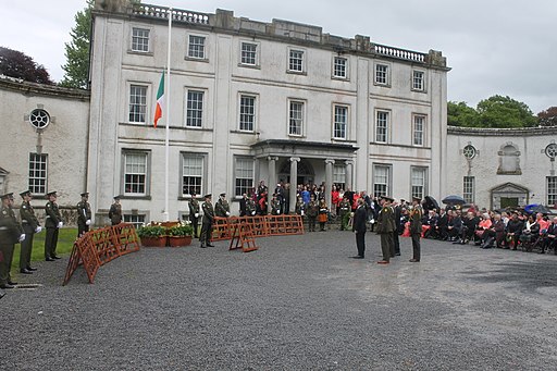
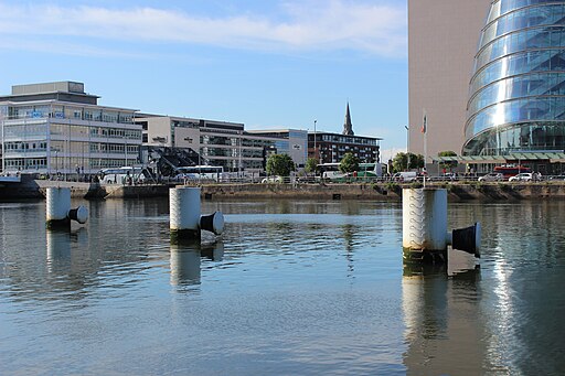
The historical walk follows in the footsteps of the Strokestown tenants who were marched from Roscommon to Dublin after they failed to pay their rent during the Famine of 1847. Tragically many of the tenants died on the way to North America due to the terrible conditions aboard the coffin ships they had boarded in Dublin. The trail ends near the Jeanie Johnston Tall Ship and EPIC The Irish Emigration Museum.
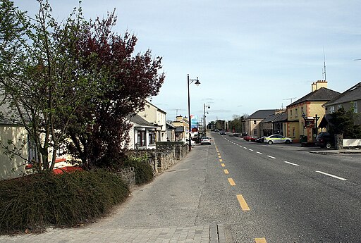
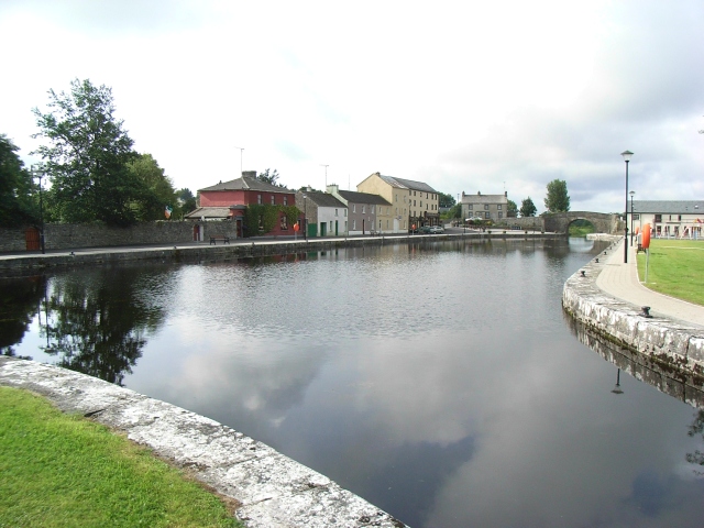
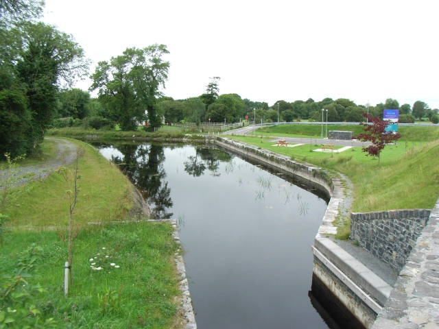
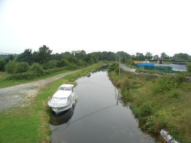
The waymarked trail runs for a distance of 165 kilometres mostly following the Royal Canal and can be completed in sections or all at once. There are excellent museums at either end of the walk where you can learn all about the circumstances leading to the famine and the subsequent emigration. More detail is also available in the 'Further Information' panel below.
Please click here for more information
National Famine Way Open Street Map  - view and print off detailed map
National Famine Way Open Street Map  - Mobile GPS Map with Location tracking
Further Information and Other Local Ideas
The famine that struck Ireland between 1845 and 1849 was a result of consecutive failures of the potato crop.
These failures were due to late blight, a disease that devastates both the leaves and the edible roots or tubers of the potato plant. The disease is caused by the water mold Phytophthora infestans. This famine in Ireland was the most severe to hit Europe in the 19th century.
During the famine period, it's estimated that up to two million Irish people emigrated.
In the decade from 1841 to 1850, Irish emigrants constituted 49 percent of all those who moved to the United States. Following this, Ireland's population kept diminishing due to continued emigration and reduced birth rates. By 1921, when Ireland gained independence, its population had shrunk to just about half of what it was in the early 1840s.
