Newtyle Railway Walk

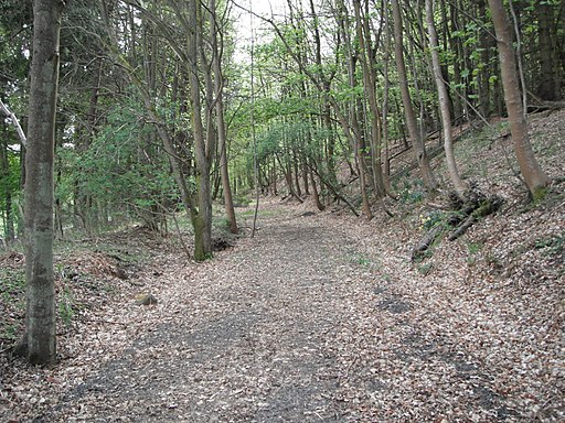
 This circular walk in Angus takes you along the old Dundee and Newtyle Railway paths surrounding the village of Newtyle.
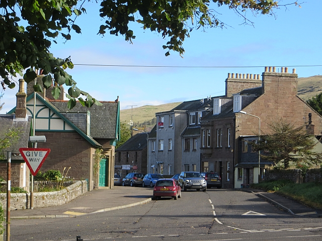
The village is located about 10 miles north west of Dundee and was the northern terminus for the first commercial railway in Scotland, which opened in 1831.
The walk starts just east of the village where you can pick up the railway path and follow it north towards Newbigging Wood. The route then loops round, passing Bannatyne House and Hatton Castle before returning to the village.
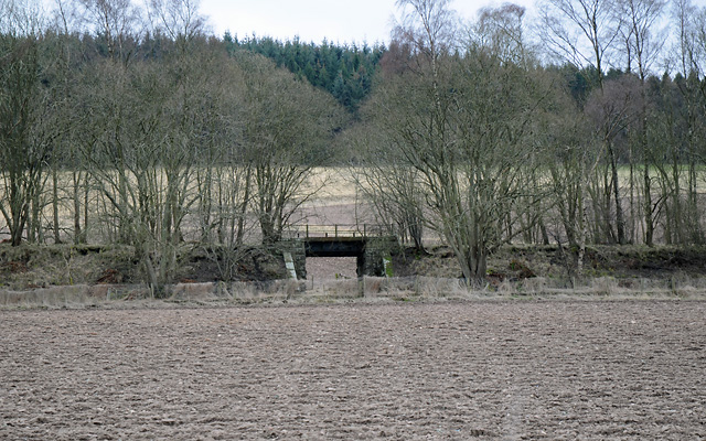
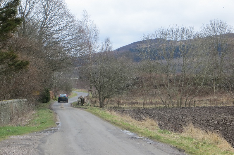
On the way there's nice views of the surrounding countryside and evidence of the old railway cuttings/bridges.
Postcode
PH12 8TJ - Please note: Postcode may be approximate for some rural locationsNewtyle Railway Walk Ordnance Survey Map  - view and print off detailed OS map
Newtyle Railway Walk Open Street Map  - view and print off detailed map
Newtyle Railway Walk OS Map  - Mobile GPS OS Map with Location tracking
Newtyle Railway Walk Open Street Map  - Mobile GPS Map with Location tracking
Further Information and Other Local Ideas
To continue your walking in the area head south towards Dundee where you can enjoy pleasant waterside walks at Clatto Reservoir Country Park. There's also the Dudhope Park and Dundee Law Walk to try in this area.


