Ogston Reservoir Walk
![]()
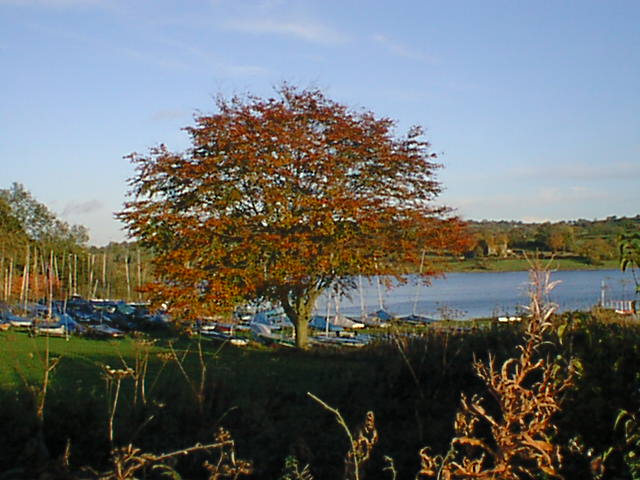
![]() This beautiful reservoir near the Derbyshire village of Brackenfield is one of Derbyshire's premier bird watching sites. There's a car park at the western end of the reservoir where you can view the birds from a bird hide. Look out for Shelduck, Mandarin, Teal, Gadwall and Common Scoters. You may also see Osprey and Buzzard.
This beautiful reservoir near the Derbyshire village of Brackenfield is one of Derbyshire's premier bird watching sites. There's a car park at the western end of the reservoir where you can view the birds from a bird hide. Look out for Shelduck, Mandarin, Teal, Gadwall and Common Scoters. You may also see Osprey and Buzzard.
There's also public footpaths climbing west into the countryside where you can enjoy views over the reservoir. You can extend your walk by following the footpath south to Brackenfield. It is also possible to turn it into a long circular walk using a combination of footpaths and country lanes.
If you enjoy this walk then you could head to the nearby Carsington Water where there is a circular cycling and walking trail to follow around the reservoir. There's also more great bird watching opportunities here.
A few miles to the east you can pick up the long distance Five Pits Trail at Tibshelf.
The reservoir is located close to the village of Ashover. You could reach the site from there by following footpaths along the River Amber to Milltown.
The county town of Matlock is also nearby where you can pick up several good walking trails.
Postcode
DE55 6FN - Please note: Postcode may be approximate for some rural locationsOgston Reservoir Ordnance Survey Map  - view and print off detailed OS map
Ogston Reservoir Open Street Map  - view and print off detailed map
*New* - Walks and Cycle Routes Near Me Map - Waymarked Routes and Mountain Bike Trails>>
Ogston Reservoir OS Map  - Mobile GPS OS Map with Location tracking
Ogston Reservoir Open Street Map  - Mobile GPS Map with Location tracking
Explore the Area with Google Street View 
Pubs/Cafes
Just to the north of the lake you can enjoy some post walk refreshments at The White Horse. The pub serves high quality food and also provides luxury accommodation. They have a charming interior with a real fire and a lovely garden outside for warmer weather.
You can find them in the hamlet of Woolley Moor at postcode DE55 6FG for your sat navs. It's about a 10 minute walk from the northern end of the lake.
Further Information and Other Local Ideas
Head south east of the lake and you can pick up the Alfreton Walk which takes you to the woodland and nature reserves surrounding the town. Near here there's also the Midland Railway Centre. Here you'll find a 35 acre country park with a heritage railway and more nice waterside trails around Butterley Reservoir and Codnor Park Reservoir.
To the north there's the village of Wingerworth where there are some nice waterside trails along the Wingerworth Lido and the Great Pond of Stubbing.
For more walking ideas in the area see the Derbyshire Walks page.
Cycle Routes and Walking Routes Nearby
Photos
Ogston Reservoir was created in the 1950s by flooding a stretch of the upper Amber valley. The original purpose was to supply the National Coal board's carbonisation plant at Wingerworth but today it is operated by Severn Trent Water to supply the local area and as a holding reservoir for nearby Carsington Reservoir.
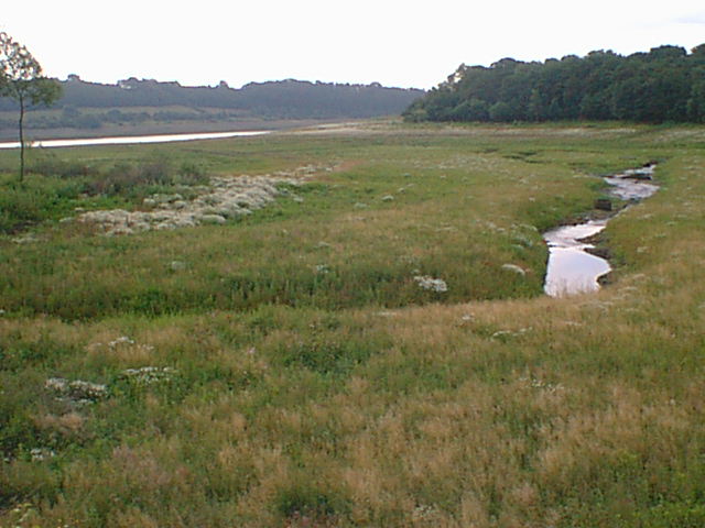
This northwestern tip of Ogston Reservoir is cutoff from the main reservoir by the B6014. This is where the River Amber joins the reservoir, its course can be seen when water levels are low


