Paglesham Walks

 This Essex based village is located just east of Rochford on the River Crouch. It's a nice place for a peaceful, easy walk with flat country footpaths and riverside trails to enjoy.
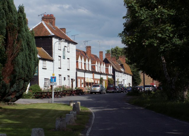
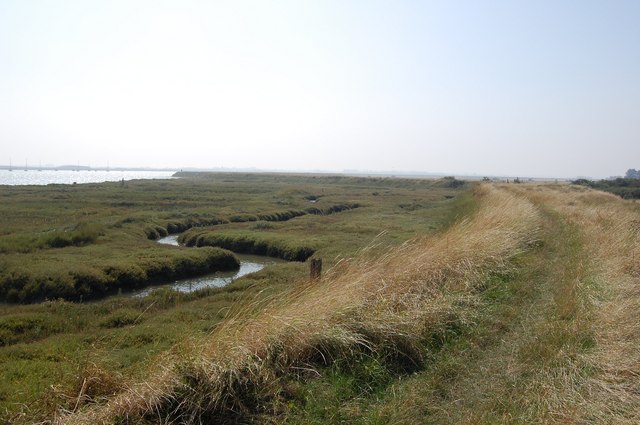
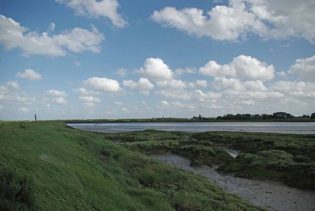
This circular walk starts from the Plough and Sail Pub in Paglesham East End. The pub dates back over 300 years and has a car parking area. From here you can pick up footpaths heading east to join with the River Roach. A riverside path along the sea wall will then lead you west to Barton Hall where you can pick up the Roach Valley Way. Follow the waymarked trail north west to South Hall Farm and Paglesham Church End. From here it is a short walk north to Paglesham Creek where public footpaths run east to Paglesham Pool. You can then head south to return to the pub.
To continue your walking in the area head east to explore Wallasea Island. The island is a great place for bird watching with a wide variety of species visiting the RSPB reserve.
Postcode
SS4 2EQ - Please note: Postcode may be approximate for some rural locationsPaglesham Ordnance Survey Map  - view and print off detailed OS map
Paglesham Open Street Map  - view and print off detailed map
Paglesham OS Map  - Mobile GPS OS Map with Location tracking
Paglesham Open Street Map  - Mobile GPS Map with Location tracking
Walks near Paglesham
- Roach Valley Way - This easy, circular walk explores the area around Rochford in Essex.
The path starts and finishes in Rochford, passing Hockley, Canewden and Paglesham Churchend - Wallasea Island - This walk visits the lovely Wallasea Island on the Essex coast.
- Burnham on Crouch - The Essex town of Burnham on Crouch is situated in a lovely location on the Crouch Estuary opposite the RSPB's Wallasea Island.
- Foulness Island - This circular walk explores Foulness Island on the east coast of Essex. The island is an internationally important site for migrating and breeding birds, including pied avocets
- Hockley Woods - Follow the peaceful walking trails through this large area of mixed woodland near Rayleigh in Essex
- Saffron Trail - A walk through the Essex countryside from the coast at Southend-on-Sea to Saffron Walden
- Cherry Orchard Jubilee Country Park - Explore 200 acres of woodland, lake, grassland and parkland in this splendid country park in the Roach Valley
- Southend Millennium Walk - Enjoy the coastline and surrounding countryside of this famous seaside resort on this interesting circular walk.
You will pass beaches, the famous Golden Mile with its numerous tourist attractions and the longest pier in the world on the coastal stretch which starts at Southend Tourist Information Centre - Great Wakering - This pretty Essex village has some nice country trails, local waterside footpaths and a noteworthy Norman church to visit.
- Shoeburyness - This walk explores Shoeburyness on the eastern side of Southend in Essex


