Perranporth Railway Walk
3.1 miles (5 km)
![]()
![]() This walk from Perranporth takes you to Goonhavern along the old Truro and Newquay railway line.
This walk from Perranporth takes you to Goonhavern along the old Truro and Newquay railway line.
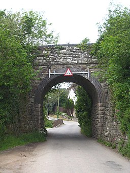
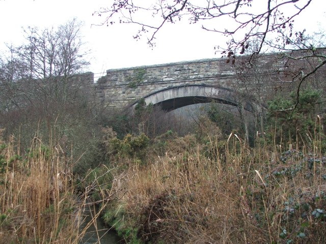
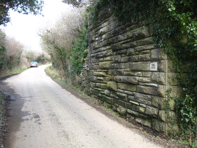
The route runs for about 3 miles following the Saints Trail east along the dismantled track. On the way you will pass Bolingey, Cocks Viaduct and the old railway bridges. There's some nice views over the Cornish countryside to enjoy too.
To extend your walking in the area you could pick up the Perranporth to St Agnes Walk.
Perranporth Railway Walk Ordnance Survey Map  - view and print off detailed OS map
Perranporth Railway Walk Open Street Map  - view and print off detailed map
Perranporth Railway Walk OS Map  - Mobile GPS OS Map with Location tracking
Perranporth Railway Walk Open Street Map  - Mobile GPS Map with Location tracking
Cycle Routes and Walking Routes Nearby
Photos
Houses at Cocks. This small hamlet lies on a minor road called Cocks Hill which runs up a steep coombe off the main valley. This photograph was taken looking northeast down the coombe with the steeply wooded side of the main valley in the distance.


