Ranscombe Farm Country Park
![]()
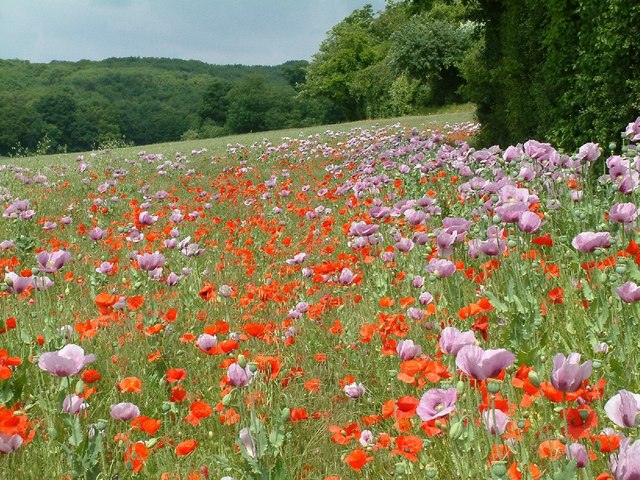
![]() Explore 560 acres of meadows and woodland in this large nature reserve on the slopes of the North Downs in Kent. The park is perfect for peaceful walks with a number of rare species of plant including meadow clary, rough mallow and six species of orchid to be seen.
Explore 560 acres of meadows and woodland in this large nature reserve on the slopes of the North Downs in Kent. The park is perfect for peaceful walks with a number of rare species of plant including meadow clary, rough mallow and six species of orchid to be seen.
The park is located in Cuxton, just a short walk from Cuxton rail station.
The North Downs Way passes through the park and is a great option for extending your walking in the area. Our Circular Walk around Cobham also passes near to the park. You could pick up the trail and visit Cobham Woods, Shorne Woods Country Park, Jeskyns Park and the bluebells in Ashenbank Wood.
Please click here for more information
Ranscombe Farm Country Park Ordnance Survey Map  - view and print off detailed OS map
Ranscombe Farm Country Park Open Street Map  - view and print off detailed map
Ranscombe Farm Country Park OS Map  - Mobile GPS OS Map with Location tracking
Ranscombe Farm Country Park Open Street Map  - Mobile GPS Map with Location tracking
Further Information and Other Local Ideas
Just east of nearby Rochester there's the attractive village of Upnor with its English Heritage owned 16th century castle and quaint old village centre.
Cycle Routes and Walking Routes Nearby
Photos
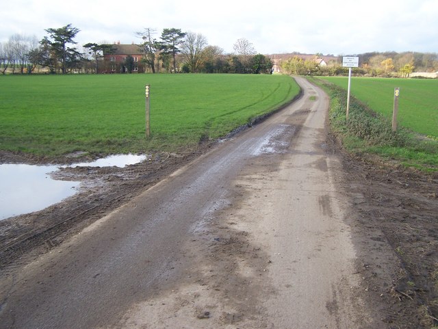
Footpath junction. Two footpaths meet. The North Down Way (long distance footpath) comes from left, from Lower Bush and then turns down the farm track, towards the viewer. Then goes downhill past a small carpark on A228 Rochester Road. Other footpath from right comes from Strood across the M2 and CTRL.


