Royal Shrovetide Football Challenge

 This walk celebrates the Royal Shrovetide Football Match which occurs annually on Shrove Tuesday in the town of Ashbourne.
The game is played on a 3 mile long pitch and takes place over two days.
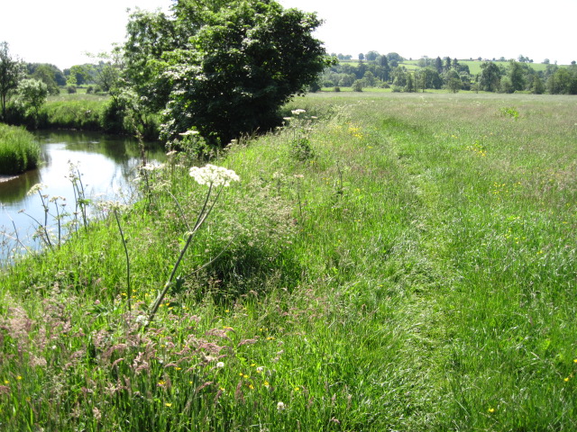
The walk starts and ends in Ashbourne and follows waymarked tracks and country lanes through Kniveton, Tissington, Fenny Bentley, Thorpe and Mapleton. The route includes a delightful waterside section along the River Dove from Thorpe to Church Mayfield.
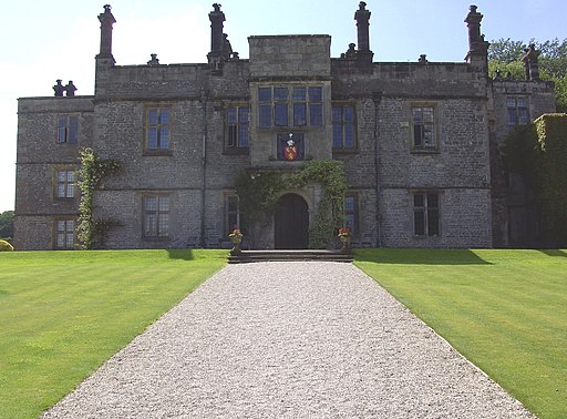
Attractions on the route include the beautiful Jacobean Mansion at Tissington Hall. The mansion is set in lovely grounds and offers fabulous views of the Peak District. You'll also link up with the popular Tissington Trail, a shared cycling and walking trail running through the area.
Royal Shrovetide Football Challenge Ordnance Survey Map  - view and print off detailed OS map
Royal Shrovetide Football Challenge Open Street Map  - view and print off detailed map
Royal Shrovetide Football Challenge OS Map  - Mobile GPS OS Map with Location tracking
Royal Shrovetide Football Challenge Open Street Map  - Mobile GPS Map with Location tracking
Further Information and Other Local Ideas
For more walking ideas in the area see the Derbyshire Walks and the Staffordshire Walks pages.
Cycle Routes and Walking Routes Nearby
Video
GPS Files
GPX File
Royal Shrovetide Football Challenge.gpx (On Desktop:Right Click>Save As. On Ipad/Iphone:Click and hold>Download Linked File)NB GPS file for this route only details route start - route is waymarked from there in


