Samphire Hoe Country Park
![]()
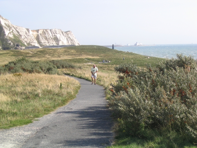
![]() This coastal country park is located near Dover on the Kent coast. The park was created by using chalk marl from the Channel Tunnel excavations. There are fabulous views of the stunning Shakespeare Cliff and the Strait of Dover. The park is a Nature Reserve with a huge variety of wildlife and a number of nationally rare plant species including the Early Spider Orchid.
This coastal country park is located near Dover on the Kent coast. The park was created by using chalk marl from the Channel Tunnel excavations. There are fabulous views of the stunning Shakespeare Cliff and the Strait of Dover. The park is a Nature Reserve with a huge variety of wildlife and a number of nationally rare plant species including the Early Spider Orchid.
The North Downs Way long distance trail runs right past the park. you can pick this up and head west to visit East Cliff and Warren Country Park. Here you'll find more great views and three old Martello Towers. Our Folkestone Walk starts at Lower Leas Coastal Park and takes you to all three of Folkestone's coastal park.
You could also continue to Folkestone on our Dover to Folkestone Walk which takes you between these two Kent ports.
Postcode
CT17 9FL - Please note: Postcode may be approximate for some rural locationsPlease click here for more information
Samphire Hoe Country Park Ordnance Survey Map  - view and print off detailed OS map
Samphire Hoe Country Park Open Street Map  - view and print off detailed map
Samphire Hoe Country Park OS Map  - Mobile GPS OS Map with Location tracking
Samphire Hoe Country Park Open Street Map  - Mobile GPS Map with Location tracking
Pubs/Cafes
There is an on site cafe selling a good range of meals and snacks.
Dog Walking
The park is a nice place for a dog walk but you are asked to keep them on leads.
Further Information and Other Local Ideas
To the north there's the Alkham Valley where you'll find an Area of Outstanding Natural Beauty. The valley includes some fine footpaths and two significant historical sites including the ruins of St Radigund's Abbey and the 11th century St Peter's Church. There's also a fine local pub in the pretty village of Alkham here.
At the eastern end of the valley you could visit the noteworthy Kearsney Abbey. There's some beautiful gardens here with ornamental lakes and views of the River Dour the highlights.
Cycle Routes and Walking Routes Nearby
Photos
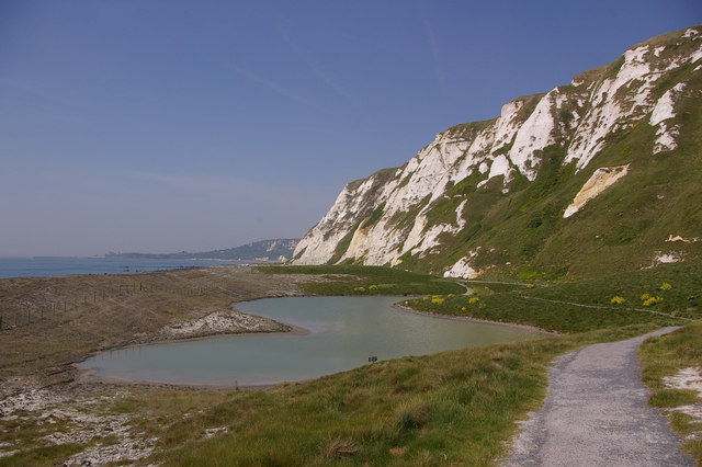
Formed out of spoil from the digging of the Channel Tunnel, the western end of Samphire Hoe is now a nature reserve, the highlight being one of the largest colonies of Early Spider Orchids in the country, with over 9000 recorded plants. Pictured here is one of the lagoons on the site. In the far distance can be seen Folkestone Harbour.


