Silverdale Walks
![]()
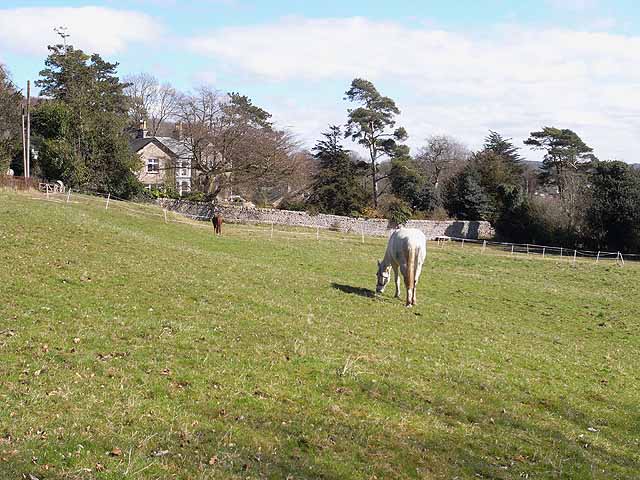
![]() A circular walk from Silverdale railway station, taking you to Eaves Wood, Elmslack, the coastal path and Silverdale Green. There's much to enjoy in this lovely area which forms part of the wider Arnside and Silverdale AONB. You'll experience woodland trails, a climb to a splendid viewpoint and great coastal views over Morceambe Bay.
A circular walk from Silverdale railway station, taking you to Eaves Wood, Elmslack, the coastal path and Silverdale Green. There's much to enjoy in this lovely area which forms part of the wider Arnside and Silverdale AONB. You'll experience woodland trails, a climb to a splendid viewpoint and great coastal views over Morceambe Bay.
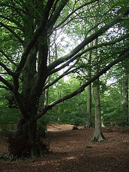
The walk starts at Silverdale railway station and heads west past Silverdale Golf Club. You then turn left along The Row and climb to the Eaves Wood Nature Reserve. Here you will find ancient woodland with limestone pavement supporting rare plants and wildlife. You can also climb to the Pepperpot monument and enjoy splendid views over the coast to Grange over Sands.
The route then descends through Elmslack to the coast where you pick up a section of the Lancashire Coastal Way long distance trail. Here you'll pass the lovely Silverdale Cove where there's a little beach and splendid views across the bay.
Follow the coast path south to Shore Road where you turn inland towards the village. It's a pretty village with a village school, library, two village halls and two churches. You can stop for refreshments at one of the pubs or cafes.
The final section takes you across Silverdale Green to return to the train station.
To extend the walk you can head east into the lovely Leighton Moss Nature Reserve, the largest reedbed in the north west.
Also nearby are the splendid climbs to Arnside Knott and Warton Crag.
Silverdale Ordnance Survey Map  - view and print off detailed OS map
Silverdale Open Street Map  - view and print off detailed map
Silverdale OS Map  - Mobile GPS OS Map with Location tracking
Silverdale Open Street Map  - Mobile GPS Map with Location tracking
Further Information and Other Local Ideas
Near Arnside Knott you will find the atmospheric ruins of Arnside Tower. The late-medieval tower house (or Pele tower) was built in the second half of the 15th century. It's a Scheduled Monument and Grade II* listed building and makes for a striking photo.
In nearby Arnside you will also find the delightful Ashmeadow Woodlands. There's some lovely footpaths here with lots of birdlife to enjoy. The woods can be accessed from the end of the Promenade or walk along the first bit of the coast path and access the woodland from the opening near the coastguard station.
If you head to Silverdale train station you could catch a train over the Kent viaduct to Grange Over Sands on the other side of the river. Here you can pick up the popular Grange-over-Sands and Cartmel Circular Walk which visits the fascinating 12th century Cartmel Priory and the splendidly positioned Hampsfell Hospice.
Cyclists can pick up the Lancashire Cycleway Northern Loop in the village.
A few miles to the north east there's another local geological highlight at Beetham's Fairy Steps. Here you will find an unusual natural limestone staircase which you can climb for more excellent views. The little village of Beetham is also well worth exploring with its 14th century ruined manor house and a particularly lovely garden centre. Near here there's also the market town of Milnthorpe. Here you can enjoy a lovely walk along Milnthorpe Sands to the River Kent Estuary and the wonderful topiary at Levens Hall.


