Skerries Beach Walk
![]() This coastal walk visits the town of Skerries in Fingal near the city of Dublin.
This coastal walk visits the town of Skerries in Fingal near the city of Dublin.
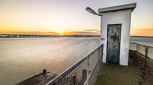
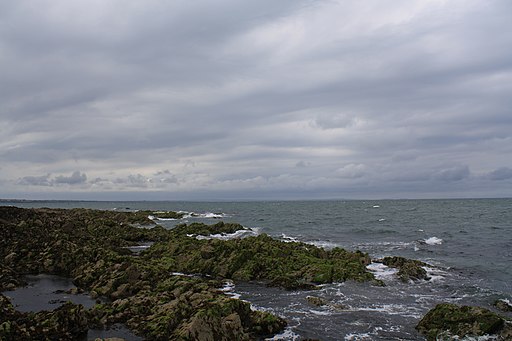
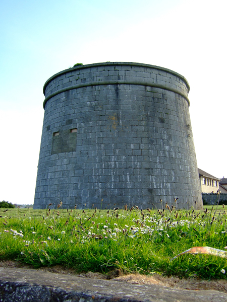
The circular walk explores the headland, visiting the North and South Beaches, the Martello Tower and the lifeboat station. Near here you can also enjoy a stroll out onto the pier. Along the way there's glorious views up the coast and out to the nearby Colt Island and Rockabill Island. Rockabill has a lighthouse and the largest numbers of breeding roseate terns in Europe. Around the harbour keep your eyes peeled for the Skerries Seals.
You can start the walk from the Red Island car park near to the north beach. There's good facilities on the route with benches, ice cream shops, fish and chips shops and cafes for refreshments.
To continue your walking in the area head a couple of miles north west to Balbriggan where you can visit the historic Ardgillan Castle. The 18th century country house is surrounded by a splendid 200-acre public park with beautiful gardens, sea views and miles of fine walking trails to try.
Postcode
K34 YR76 - Please note: Postcode may be approximate for some rural locationsSkerries Beach Walk Open Street Map  - view and print off detailed map
Ireland Walking Map - View All the Routes in the Country>>
Skerries Beach Walk Open Street Map  - Mobile GPS Map with Location tracking
Further Information and Other Local Ideas
To continue your coastal walking in the area head south to try the hugely popular Howth Cliff Walk and the Howth Cliff Walk Purple Route. There's more excellent sea views to enjoy from this wonderful cliff top trail. You can also pick up the Malahide to Portmarnock Coastal Walk and the Donabate to Portrane Cliff Walk in this area.
To the north west there's some interesting local history at Slane Castle. The castle is well worth a visit with an interesting history, a whiskey distillery, woodland trails and a natural amphitheatre which has been used for many concerts. Near here you can also pick up the Boyne Valley Walk and enjoy a scenic stroll along the River Boyne to Navan.
Just to the east of Slane Castle is the site of the famous Battle of the Boyne. The area includes an excellent visitor centre and a number of walkways taking you around the site of the historic 17th century battle. There are also pretty gardens and walks along the River Boyne and the Boyne Canal. You can reach the site from nearby Drogheda by following the Drogheda Boyne Greenway west from the town. The shared cycling and walking trail utilises sections of boardwalk and riverside paths along the River Boyne to reach the battlefield. It's a pleasant way to reach the site without a car.
Head south and you can pick up the Loughshinny to Rush Cliff Walk where there's the pretty village of Loughshinny and an early 19th century Martello Tower to see.


