Skipton Moor
![]()
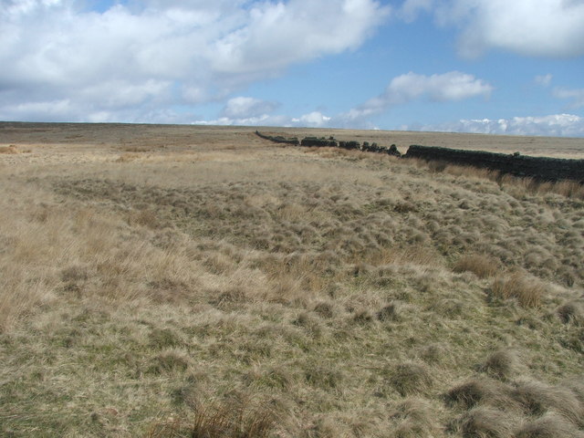
![]() This circular walk follows different footpaths across Skipton Moor to the east of the town. There's some fine moorland scenery, interesting geological features and wonderful far reaching views from the elevated position of the moor. It's about a 5 mile hike with some moderate climbs along the way, so a reasonable level of fitness is required.
This circular walk follows different footpaths across Skipton Moor to the east of the town. There's some fine moorland scenery, interesting geological features and wonderful far reaching views from the elevated position of the moor. It's about a 5 mile hike with some moderate climbs along the way, so a reasonable level of fitness is required.
The walk starts from the parking area near the Jenny Gill Reservoir, just to the south east of Skipton. From here you can follow paths up onto the moor, heading east towards Potters Gill. You then turn south toward Snow Hill Farm and Middlebrough House where you turn west to High Edge and High Bradley Moor. Around here you can branch off to the north to climb to the 373 metre high point of the moor. There's fabulous views over the town and the countryside of the Yorkshire Dales from here.
The route then descends past Standard Crag and Cawder Gill, before returning to the parking area.
To extend your walking in the area you could try our Skipton Circular Walk which takes you to the medieval castle, along the canal and up to the viewpoint at Sharp Haw.


