Sharp Haw Circular Walk
![]()
![]() This circular walk climbs to Sharp Haw hill in the Yorkshire Dales National Park from Gargrave.
This circular walk climbs to Sharp Haw hill in the Yorkshire Dales National Park from Gargrave.
This route uses sections of the Leeds Liverpool Canal and visits Flasby and Thorlby on the way.
The walk starts on the canal in Gargrave and follows the towpath east to the aqueduct and the bridge on the Skipton Road. Cross the canal here and head north pass Ray Bridge Hill to Eshton Bridge over the Eshton Beck.
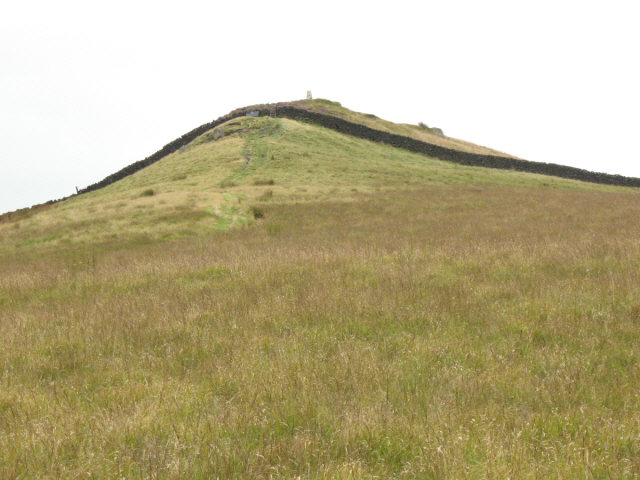
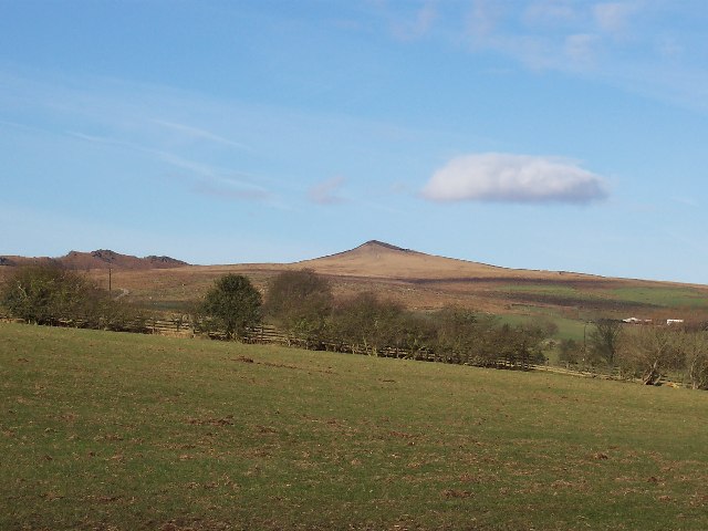
Continue through Flasby, crossing the Flasby Beck before heading south east toward Sharp Haw. The hill stands at a height of 357 metres (1,171 ft) commanding fine views over the Aire valley, to Gargrave, Skipton, Wharfedale and Malhamdale.
You then descend to Stirton and Thorlby where you cross the swing bridge to rejoin the canal. The route then follows the towpath back into Gargrave.
For a longer circular walk try the Skipton Circular Walk which visits the fell from the nearby town.


