Walks near St Columb Major
0.6 miles (1 km)
![]()
![]() This Cornish town is located near Wadebridge and the coast at Newquay.
This Cornish town is located near Wadebridge and the coast at Newquay.
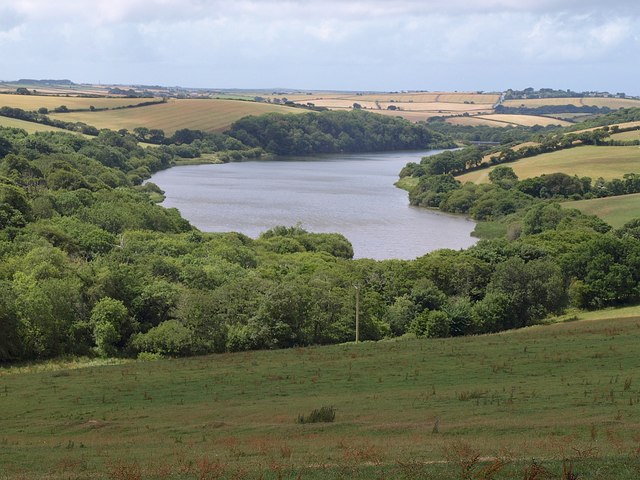
Local walking highlights include the waterside trails at Porth Reservoir and the wildlife rich Goss Moor Trail.
Please scroll down for the full list of walks near and around St Columb Major. The detailed maps below also show a range of footpaths, bridleways and cycle paths in the area.
St Columb Major Ordnance Survey Map  - view and print off detailed OS map
St Columb Major Open Street Map  - view and print off detailed map
St Columb Major OS Map  - Mobile GPS OS Map with Location tracking
St Columb Major Open Street Map  - Mobile GPS Map with Location tracking
Walks near St Columb Major
- Porth Reservoir - Enjoy a circular walk around this pretty reservoir near Newquay
- Colan Woods - A circular walk around the village of Colan near Newquay
- Goss Moor Trail - This super Cornish trail is suitable for both walkers and cyclists and takes you on a tour of the 480 hectare Goss Moor National Nature Reserve.
- Perranporth to St Agnes Walk - This coastal walk follows a lovely section of the from Perranporth to St Agnes Head in Cornwall.
- Ladock Woods - This walk visits Ladock Woods, in the Cornish village of Ladock, near Truro.
- Tresillian River Walk - This walk visits the Tresillian River near the city of Truro in Cornwall
- Holywell to Crantock Circular Walk - This circular walk takes you from Holywell to Crantock on the Cornish coast
- Tregargus Valley - This walk explores the Tregargus Valley near St Austell in Cornwall.
- Watergate Bay - This beautiful bay is located just to the north of Newquay on the Cornish coast
- Wadebridge - This market town is situated in a lovely spot on the River Camel in North Cornwall.
- Newquay to Crantock - This circular walk takes you from Newquay to Crantock via Towan Head and Pentire Point.
The walk starts from the town centre next to the train station and bus station - Newquay to Perranporth - This is a popular coastal walk between Newquay and Perranporth along a section of the South West Coast Path
Further Information and Other Local Ideas
For cyclists National Cycle Route 32 passes right through the town. The signed Sustrans cycle route runs through Cornwall from Bodmin to Truro via St. Columb Major, Padstow and Newquay.


