St Swithun's Way
![]()
![]() Follow the St Swithun's Way from Winchester to Farnham on this historical walk through the Hampshire and Surrey countryside. The trail gives the walker the opportunity to visit numerous churches with pilgrimage connections.
Follow the St Swithun's Way from Winchester to Farnham on this historical walk through the Hampshire and Surrey countryside. The trail gives the walker the opportunity to visit numerous churches with pilgrimage connections.
The walk begins at the splendid Winchester Cathedral and heads east, through the Itchen Valley towards Itchen Abbas. This opening section includes a long waterside stretch along the River Itchen, passing through the pretty village of Itchen Abbas as you go.
The next section takes you from New Alresford to Alton along country lanes and through a couple of peaceful woodland stretches. You will also pass through the village of Chawton - home to Jane Austen.
From Alton you head north-east, following the River Wey through Bentley, before finishing at Farnham in Surrey. Here you can enjoy a visit to Farnham Castle and Farnham Park where there's 320 acres (130 hectares) of hills, valleys, ponds and streams.
St Swithun's Way Ordnance Survey Map  - view and print off detailed OS map
St Swithun's Way Open Street Map  - view and print off detailed map
*New* - Walks and Cycle Routes Near Me Map - Waymarked Routes and Mountain Bike Trails>>
St Swithun's Way OS Map  - Mobile GPS OS Map with Location tracking
St Swithun's Way Open Street Map  - Mobile GPS Map with Location tracking
Pubs/Cafes
The Plough in Itchen Abbas is a pleasant place for a pit stop. It's a traditional country inn with a fine menu and a patio area for warmer days. You can find it at postcode SO21 1BQ for your sat navs.
Cycle Routes and Walking Routes Nearby
Photos
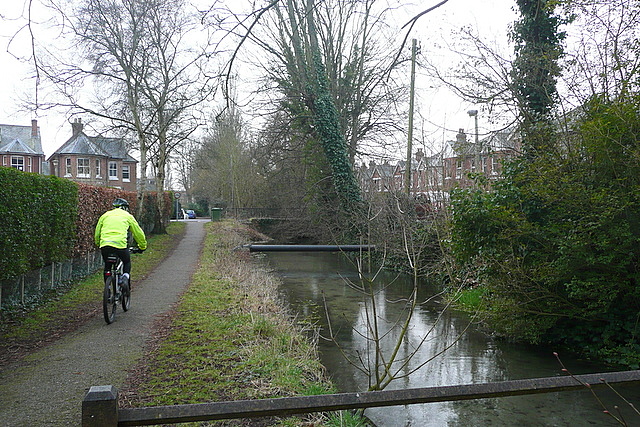
Cyclist on the St Swithun's Way approaching Winchester. The path replicates, as nearly as possible, the route followed along the Itchen valley by Medieval travellers to the city. The cycle path element is just local.
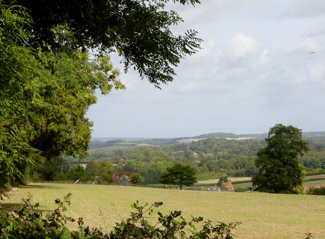
Upper Woodside Farm, Lower Farringdon. Looking from the St Swithun's Way, on the edge of New Copse, towards Upper Woodside Farm (on the left). Lower Woodside Farm is also visible with a brighter roof to the left of the bigger tree.
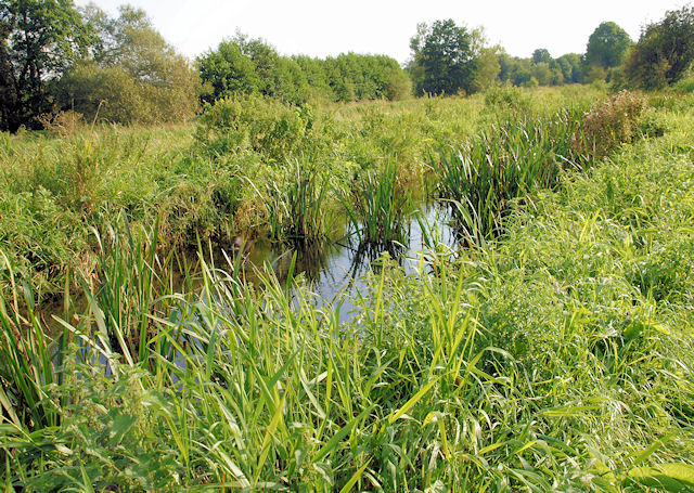
St Swithun's Way and King's Way to the north of Abbotts Barton, looking south. To the left is the flat marshland of the Itchen flood plain and to the right an arable field rises on the chalk.
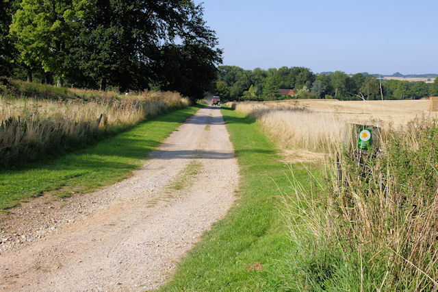
Farm Track Crossing the Itchen Way Looking down a farm track to the east of the golf course. The Itchen Way and St Swithun's Way cross from right to left.
Elevation Profile

