Standlake Walks
![]()
![]() This pretty Cotswolds village is located in a lovely spot close to the River Windrush and River Thames.
This pretty Cotswolds village is located in a lovely spot close to the River Windrush and River Thames.
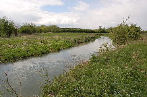
This circular walk explores the area to the south of the village, visiting the River Thames, Shifford Lock, Standlake Common and the village of Newbridge where the two rivers meet. There's lots of nice waterside paths and fine views of the surrounding Oxfordshire countryside to enjoy on the way.
The walk starts in the village and heads south west past a series of lakes towards Shifford and Chimney Meadows Nature Reserve where there's lots of water loving wildlife to see. Near here you cross the water at the Shifford Lock Cut and head south towards Duxford Ford. Here you pick up the Thames Path and follow the waymarked National Trail east towards Newbridge where the Thames and the Windrush meet. You then cross the river and follow footpaths across Standlake Common, passing several more lakes before arriving back in the village.
Postcode
OX29 7RH - Please note: Postcode may be approximate for some rural locationsStandlake Ordnance Survey Map  - view and print off detailed OS map
Standlake Open Street Map  - view and print off detailed map
Standlake OS Map  - Mobile GPS OS Map with Location tracking
Standlake Open Street Map  - Mobile GPS Map with Location tracking
Pubs/Cafes
Back in the village head to the Black Horse for some post walk refreshment. The award winning pub serves high quality dishes and includes a lovely heated terrace for the summer months. It dates back 350 years and has a charming interior with open fires and exposed beams. You can find them on the High Street at postcode OX29 7RH for your sat navs.
Dog Walking
The river trails make for a fine dog walk and the Black Horse mentioned above is also dog friendly.
Further Information and Other Local Ideas
Head a few miles south east and you can visit the pretty village of Appleton and enjoy a walk to Tubney Wood where you may spot a roe deer.
A few miles to the north east there's the neighbouring village of Stainton Harcourt, the expansive Farmoor Reservoir and the ancient market town of Eynsham to visit.
For more walking ideas in the area see the Cotswolds Walks and the Oxfordshire Walks pages.
Cycle Routes and Walking Routes Nearby
Photos
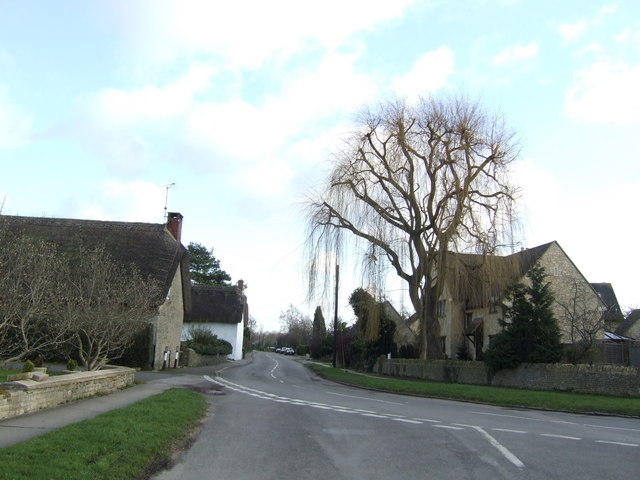
Standlake village houses. The willow in the centre indicates the low-lying nature of the land around the village, being close to the confluence of the Thames and Windrush.
Shifford Lock, River Thames, Oxfordshire: two narrowboats waiting at the landing stage below the lock
