Stevenage Circular Walk

 This well maintained walking path circles Stevenage in Hertfordshire and is known as the Stevenage Outer Orbital Path. It is easily accessible from Stevenage via 8 linked paths and is waymarked throughout.
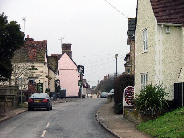
The STOOP circuit passes through Graveley, Walkern, the Beane Valley, Datchworth, Woolmer Green, Knebworth Park, St Ippollitts, Little Wymondley and back to Graveley, using local footpaths and bridleways. Many of the villages are picturesque with pretty village greens and good local pubs to stop of for a bite to eat.
One of the highlights of the walk is the delightful Knebworth Country Park. Famous for its music concerts you will also find a fine stately home surrounded by beautiful gardens.
To continue your walking around Stevenage head into the town and visit the lovely Fairlands Valley Park. The Hertfordshire Way long distance footpath also passes through the area. You could pick up this waymarked walking trail to further explore the countryside of the county.
Please click here for more information
Stevenage Outer Orbital Path Ordnance Survey Map  - view and print off detailed OS map
Stevenage Outer Orbital Path Open Street Map  - view and print off detailed map
Stevenage Outer Orbital Path OS Map  - Mobile GPS OS Map with Location tracking
Stevenage Outer Orbital Path Open Street Map  - Mobile GPS Map with Location tracking
Walks near Stevenage
- Knebworth Country Park - A walk through the delightful country park surrounding Knebworth House in Stevenage
- Fairlands Valley Park - Enjoy a cycle or walk through this popular park in Stevenage
- Hertfordshire Way - Explore some of the finest countryside and prettiest towns and villages in this fascinating county
- Tewin - This pleasant Hertfordshire based village is located near Welwyn Garden City and Hertford
- Watton at Stone - This Hertfordshire based village has some lovely trails through the River Beane Valley and a fine local country estate to explore.
- Welwyn Garden City - This circular walk around Welwyn Garden City uses some of the town's waymarked trails to take you to some of the highlights of the area
- Tewin Bury Farm - This walk visits the pretty Tewin Bury Farm near Tewin in Hertfordshire.
- Buntingford - This market town is located near Therfield in East Hertfordshire, next to the River Rib
Dog Walking
Most of the trail is ideal for a dog walk with plenty of good woodland and parkland trails. Fairlands Valley Park in the town is also dog friendly.
Further Information and Other Local Ideas
Just to the south west of Knebworth you will find the noteworthy village of Ayot St Lawrence. The village is notable for its connections with the playwright George Bernard Shaw and is the site of Shaw's Corner, his old residence. There's also a ruined 12th century church and a lovely pub which dates from the 14th century to see here. Near here there's Codicote where you can visit the nearby Hoo Park and enjoy some pretty bluebell woods and a rather fine old bridge over the River Mimram. The village is also very attractive with several timber framed buildings and a historic 16th century pub to admire.
To the east is Buntingford where there are number of historic timber framed buildings and the impressive, 19th century Aspenden Hall to see.
Photos
Lytton family mausoleum at Knebworth House, Herts. It is a grade II listed building. This is a photo of listed building number 1174579. The mausoleum is a structure of 1817, designed by J P Papworth and set in Knebworth Deer Park. Last resting place of family members, including Lady Constance Lytton, daughter of Robert, 1st Earl of Lytton, who continued the struggle for the emancipation of women engaged in by her grandmother Rosina and her great-grandmother Anna Wheeler.
Datchworth Green: The village sign Looking down towards the pavilion the village sign is at the eastern end of the green and has an unusual bas-relief design featuring the church at the top, a rugby match lower left, children playing on a swing and a slide in the middle bottom, and a cricket match lower right. A small plaque on the sign reads:- To the village For the village From the village 2000 indicating that the sign was a Millennium gift.


