Stubbins Estate Walks

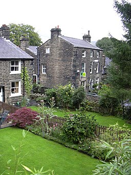
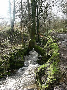
 This walk explores the Stubbins Estate on the West Pennine Moors in Lancashire. It's a popular place for walkers with miles of trails to follow around the wooded hillside, farmland and Pennine moorland.
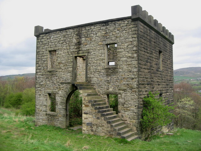
Starting in Stubbins you will first head towards the ruined Tentering Tower, an old industrial building dating from 1866. The building was used to stretch cloth from the mill so it remained in shape while drying. It was held in frames using tenter hooks, hence the expression being 'on tenter hooks'. You can explore the interesting ruined building and enjoy some fine views over the area as well.
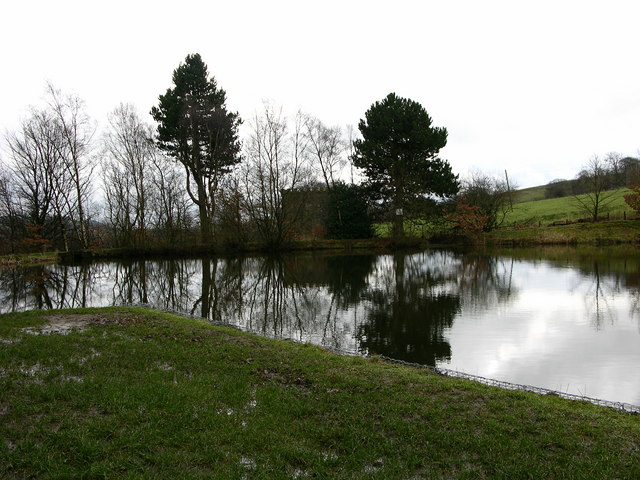
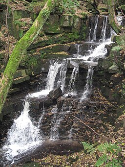
The trails will take you north past the lake at Cliffe Lodge to Buckden Wood where there are some nice woodland trails and a waterfall.
To extend the walk you could climb to the splendid viewpoint at Peel Tower and explore more of the expansive Holcombe Moor.
Postcode
BL0 9YF - Please note: Postcode may be approximate for some rural locationsStubbins Estate Ordnance Survey Map  - view and print off detailed OS map
Stubbins Estate Open Street Map  - view and print off detailed map
Stubbins Estate OS Map  - Mobile GPS OS Map with Location tracking
Stubbins Estate Open Street Map  - Mobile GPS Map with Location tracking
Walks near Stubbins
- Peel Tower - This walk climbs to the Peel Monument on Holcombe Hill in Ramsbottom near Bury
- Holcombe Moor - A circular walk around Holcombe Moor visiting Peel Tower on the way
- Rossendale Way - This circular walk takes you on a tour of the lovely Rossendale area of Lancashire and Greater Manchester.
The path passes Haslingden, Rawtenstall, Whitworth, Stubbins and Healey with a series of attractive reservoirs including Cowpe and Calf Hey real highlights - Wayoh Reservoir - Enjoy an easy circular walk around this pretty reservoir near Bolton
- Calf Hey Reservoir - The attractive area of Haslingden Grane includes some nice walking trails around Calf Hey Reservoir and through the adjacent woodland
- Musbury Tor - This walk climbs to Musbury Tor or Tor Hill in the Rossendale Valley
- Haslingden - This walk climbs to an interesting art structure and viewpoint in Haslingden, Lancashire
- Whalley Abbey and the River Calder - Visit the fascinating remains of this former Cistercian abbey and enjoy a waterside stroll along the Calder River on this lovely circular walk in the Lancashie village of Whalley.
- Ramsbottom - A circular walk around Ramsbottom visiting some of the highlights of the area including River Irwell, Nuttall Park, Holcombe and the iconic Peel Tower.
The walk starts from the train station and heads a short distance to the east to pick up the Irwell Sculpture Trail - Summerseat - This village near Ramsbottom is a lovely place for a stroll
- Redisher Wood - This walk visits the pretty Redisher Wood in Ramsbottom
Pubs/Cafes
Just to the east there's The Duckworth Arms for some post walk refreshments. They serve good quality food and have a lovely large garden area for warmer days. You can find them at 416 Whalley Rd, Ramsbottom, BL0 0EG.
Dog Walking
The moorland and woodland are ideal for dog walking. The Duckworth Arms mentioned above is also dog friendly.
