Swadlincote and Bretby Park Walk
![]()
![]() The Derbyshire town of Swadlincote is located close to the borders with Leicestershire and Staffordshire. The town includes several woodland areas and is on the edge of the National Forest.
The Derbyshire town of Swadlincote is located close to the borders with Leicestershire and Staffordshire. The town includes several woodland areas and is on the edge of the National Forest.
This walk from Swadlincote visits Bretby Park and the village of Bretby. On the way there's some nice woodland trails and a series of pretty lakes to enjoy.
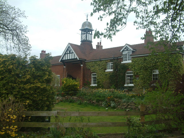
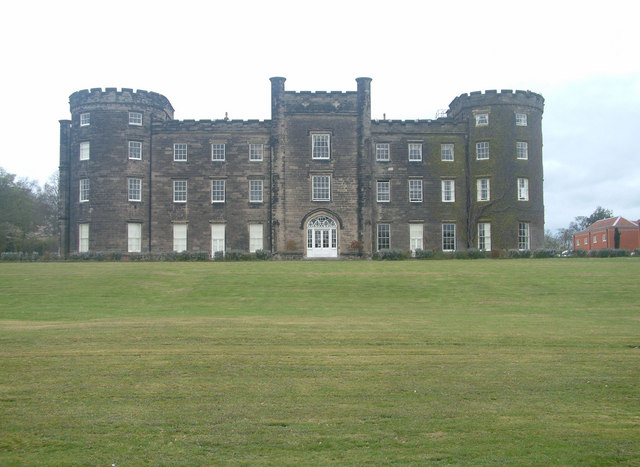
The walk starts at the northern outskirts of Swadlincote where you can pick up public footpaths heading north east to Bretby Hall. The estate includes 2,000 acres of mixed arable, grassland and mature mixed woodland. There are fine views of the Derbyshire hills and the Grade II listed Bretby Hall.
At the hall you turn north west to visit the village of Bretby where there is a pretty village green and Grade II listed parish church dedicated to St Wystan.
After exploring the village the route returns to Swadlincote on the same paths.
Please click here for more information
Swadlincote Ordnance Survey Map  - view and print off detailed OS map
Swadlincote Open Street Map  - view and print off detailed map
Swadlincote OS Map  - Mobile GPS OS Map with Location tracking
Swadlincote Open Street Map  - Mobile GPS Map with Location tracking
Pubs/Cafes
The Railway Inn in Swadlincote is a nice place for some post walk refreshments. They do a lovely Sunday carvery and have a good sized beer garden if the weather is good. You can find it on Midway Road at a postcode of DE11 7NR for your sat navs. The pub is also dog friendly if you have your canine friend with you.
Further Information and Other Local Ideas
Just to the north east of the park you'll find Foremark Reservoir. The large lake has some nice waterside trails to try. Also nearby is the popular Staunton Harold Reservoir and the historic Calke Park.
To the south of Swadlincote there's Swadlincote Woodlands. The 80 acre urban woodland park includes 40,000 new trees, interpretative boards, arts and heritage features. You can find it at a postcode of DE11 8LP with a car park at the south western corner.
Head south of the town and you will come to the Conkers Discovery Centre where there are some nice woodland trails and lots of activites. Near here you can also pick up the Ashby Canal and follow it around Moira and Donisthorpe. Here you can visit the noteworthy Moira Furnace. There's a fine country park here with woodland and parkland trails surrounding the early 19th century iron furnace. The woods, ponds and mountain bike trails of Hicks Lodge are also located just east of the site.
Also of interest is the Horseshoe Trail which provides an opportunity to explore the National Forest on foot or by bike.
Just to the west there's the Rosliston Forestry Centre to explore. The centre provides a wealth of information on the area and also has on site bike hire. The surrounding parkland is well worth exploring too with woodland trails, meadows, ponds, lots of butterflies and some interesting sculptures to see. The Woodland Trust's Badger Wood can also be accessed in this area.


