Swinside Stone Circle
![]()
![]() This walk visits the Swinside Stone Circle north of Millom in Cumbria.
This walk visits the Swinside Stone Circle north of Millom in Cumbria.
You can follow a track north west from Cragg Hall for about a mile to reach this mysterious, ancient site. There is some limited parking at the start of the track. It's a very pleasant trail with fine views of the surrounding Lakeland hills and countryside.
The site was constructed as a part of a megalithic tradition that lasted from 3,300 to 900 BC. It was built from local slate, with the ring consisting of 55 stones and having a diameter of about 93 ft (26m). It's a beautiful, remote spot with the Lake District mountains making a fine backdrop to the atmospheric stones.
The circle sits just to the east of Black Combe Hill where you can enjoy fine views over the countryside and coast.
Postcode
LA18 5LD - Please note: Postcode may be approximate for some rural locationsSwinside Stone Circle Ordnance Survey Map  - view and print off detailed OS map
Swinside Stone Circle Open Street Map  - view and print off detailed map
Swinside Stone Circle OS Map  - Mobile GPS OS Map with Location tracking
Swinside Stone Circle Open Street Map  - Mobile GPS Map with Location tracking
Pubs/Cafes
Head east to nearby Broughton in Furness and you could enjoy some post walk refreshment at the noteworthy Old Kings Head. This historic pub dates back to the 16th century. The fine restaurant is decorated to commemorate Henry’s six wives and boasts original features from when the building was a coach house. There's also a lovely large garden area for warmer days. You can find them on Church Street at postcode LA20 6HJ. The pub is also dog friendly if you have your canine friend with you.
Further Information and Other Local Ideas
Head south towards Millom and you could pick up the Cumbria Coastal Way and look out for the wildlife at the lovely Hodbarrow Lakes Nature Reserve and the adjacent Haverigg beach.
To see other stone circles in the area head to Castlerigg Stone Circle near Keswick and Long Meg near Penrith.
For more walking ideas in the area see the Lake District Walks page.
Cycle Routes and Walking Routes Nearby
Photos
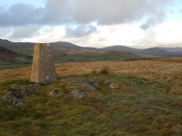
Trig pillar , Knott Hill. Just to the west of the site you'll find the 287 metre high Knott Hill. You could climb this for some excellent views over the area.


