Sydling St Nicholas Walks
![]()
![]() This pretty little village is located in a lovely rural location in the chalk hills of the Dorset Downs.
This pretty little village is located in a lovely rural location in the chalk hills of the Dorset Downs.
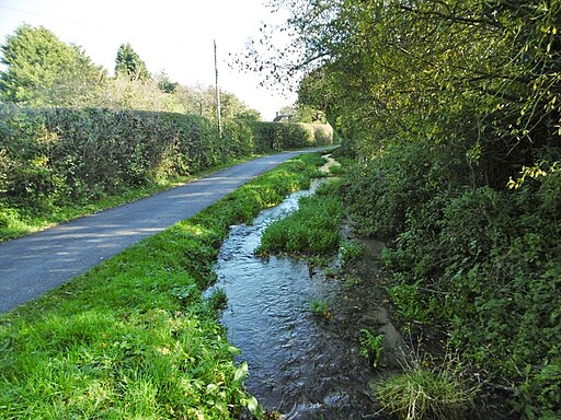
It is surrounded by the attractive countryside of the valley of Sydling Water, a small river which flows from Up Sydling until it joins the River Frome near Grimstone. Sydling St Nicholas is also located on the Wessex Ridgeway, a long distance footpath running all the way to Lyme Regis on the Jurassic Coast. Other features include 18th century cottages on a chocolate box High Street, a noteworthy 15th century church and a fine centuries old pub to relax in after your exercise.
This circular walk uses part of the Wessex Ridgeway to explore Buckland Hill before visiting the neighbouring hamlet of Up Sydling. From the high points there are some excellent views over the countryside and hills of the Dorset Area of Outstanding Natural Beauty.
You could extend the walk by heading east to visit the neighbouring village of Cerne Abbas where you can enjoy a walk to the photogenic hill figure at the Cerne Abbas Giant. The delightful Minterne Gardens in Minterne Magna are also not far from the northern end of the trail.
Postcode
DT2 9PD - Please note: Postcode may be approximate for some rural locationsSydling St Nicholas Ordnance Survey Map  - view and print off detailed OS map
Sydling St Nicholas Open Street Map  - view and print off detailed map
Sydling St Nicholas OS Map  - Mobile GPS OS Map with Location tracking
Sydling St Nicholas Open Street Map  - Mobile GPS Map with Location tracking
Walks near Sydling St Nicholas
- Maiden Newton - This Dorset based village sits in a rural spot on the River Frome near to the county town of Dorchester
- Minterne Gardens - Explore the stunning gardens surrounding this fine house in the village of Minterne Magna in Dorset
- Evershot - This circular walk from the idyllic Dorset village of Evershot visits the delightful Melbury Park.
- Cerne Abbas Giant - This circular walk visits Giant Hill in Dorset where you will find the striking chalk hill figure of the Cerne Abbas Giant
- Frome Valley Trail - This is a riverside walk along the River Frome from its source at Evershot to Dorchester
- Thorncombe Woods - This walk visits Thorncombe Woods, Duddle Heath and Thomas Hardy's cottage, near Dorchester
- Puddletown Forest - This large area of woodland near Dorchester has miles of footpaths and mountain bike trails
- Athelhampton House - Explore the beautiful parkland and gardens surrounding the marvellous, 15th century Athelhampton House
- Maiden Castle Dorset - Climb to this Iron Age hill fort near Dorchester and enjoy wonderful views over the surrounding countryside
- Wessex Ridgeway - This wonderful trail runs from Marlborough in Wiltshire to Lyme Regis on the Jurassic Coast in Dorset
- Macmillan Way - This epic long distance path links Boston in Lincolnshire to Abbotsbury in Dorset
- Dorchester - The historic county town of Dorset has some fine river trails, expansive local woodlands and a noteworthy hill fort to explore.
Pubs/Cafes
Back in the village head to the Greyhound Inn for some post walk refreshments. The old coaching inn dates back several centuries and is located on the delightful High Street with its pastel painted houses built from flint and stone. They serve high quality dishes and also have a beautiful garden area for warmer weather. You can find them at postcode DT2 9PD for your sat navs. The pub is dog friendly.
Photos
Historic thatched cottages on the High Street, Sydling St Nicholas. On the left are two 18th century cottages, no. 10 (Honeysuckle Cottage) and no. 8. The one on the right-hand side, no. 7, dates from the previous century. Thomas Hardy names the village as Sidlinch or Broad Sidlinch in his story 'The Grave by the Handpost' (1897) published in The Changed Man and Other Tales (1913).
Across the fields to the village. The church pictured here dates back to the 1400s and is Grade I listed. It possesses a Norman font and a fine tower. The church was used as a location in the 1967 film adaptation of Hardy's Far From the Madding Crowd, in a scene that involved water pouring from one of the church's gargoyles onto the grave of Fanny Robin.


