Tarporley Walks
![]()
![]() Tarporley is a very pretty Cheshire village with some nice country trails and waterside walks along the nearby canal towpath.
Tarporley is a very pretty Cheshire village with some nice country trails and waterside walks along the nearby canal towpath.
This circular walk from the village heads south to some of the walking highlights of the area. On the route you'll visit the historic Beeston Castle before a waterside stroll along the Shropshire Union Canal.
The route starts in the village and picks up public footpaths heading west to meet with the Sandstone Trail. You can follow this waymarked trail south to Wharton's Bridge on the canal. From here you head south to pay a visit to Beeston Castle. You can explore the ruins of the 13th century castle and enjoy wonderful views to the Peckforton Hills and the Cheshire Plain.
After exploring the castle you head north and return to the canal at Wharton's Lock. Here you pick up the towpath and head east to Beeston Lock and Tilstone Lock. The route then leaves the canal and heads north towards Tilstone Hall where you turn north west to follow country lanes back to Tarporley.
Tarporley Ordnance Survey Map  - view and print off detailed OS map
Tarporley Open Street Map  - view and print off detailed map
Tarporley OS Map  - Mobile GPS OS Map with Location tracking
Tarporley Open Street Map  - Mobile GPS Map with Location tracking
Pubs/Cafes
The Old Fire Station Chocolate Shop has a nice cafe where you can enjoy some refreshments after your walk. It's set in the old fire station and includes a display of old fire helmets and other memorabilia. You can find them on the High Street at postcode CW6 0AG.
For a pub lunch head to the Rising Sun where they do very good pub food and have a decent sun trap garden area. You can find them at 38 High Street with a postcode of CW6 0DX for your sat navs.
Dog Walking
The country and woodland trails on the walk make for a good dog walk and the Rising Sun mentioned above is also dog friendly.
Further Information and Other Local Ideas
Just a few miles north east of the village you'll find one of the highlights of the area at Little Budworth Country Park. There's some nice trails taking you to woodland, lowland heath and ponds here.
If you head north along the Sandstone Trail it will take you to the expansive Delamere Forest where there are miles of walking and cycling trails to try.
Head south west and you will find the neighbouring village of Tattenhall. Here you can visit the noteworthy Ice Cream Farm, the largest ice cream shop in the world. The popular tourist attraction includes expansive children's play areas, farm animals and quad bikes. You can find them at Drumlan Hall, Newton Ln, CH3 9NE.
Bunbury locks and the associated village of Bunbury are located just to the south. The impressive staircase locks on the Shropshire Union Canal and the delightful historic settlement are well worth a visit.
For more walking ideas in the area see the Cheshire Walks page.
Cycle Routes and Walking Routes Nearby
Photos
Rook's Nest - thatched cottage, Tarporley. This cottage was extensively refurbished in the late 1990s but retains many original features.
Tarporley Old Fire Station Chocolate Shop. A pretty little tea room and gift shop located in the village.
A gable of the Manor House, High Street, Tarporley. Decorative timber framing, with a colourful coat of arms. The inscription to the moulded bressumer reads "Ralph Done Esquyer, the Lorde of this place, was an eade to this buldying in ever case. John Wytter 1586". The beam below the first floor window reads "Feneys quoth Jhon Newsome hathe kept hys promes just, In buldying of thys house in August, anno 1585."
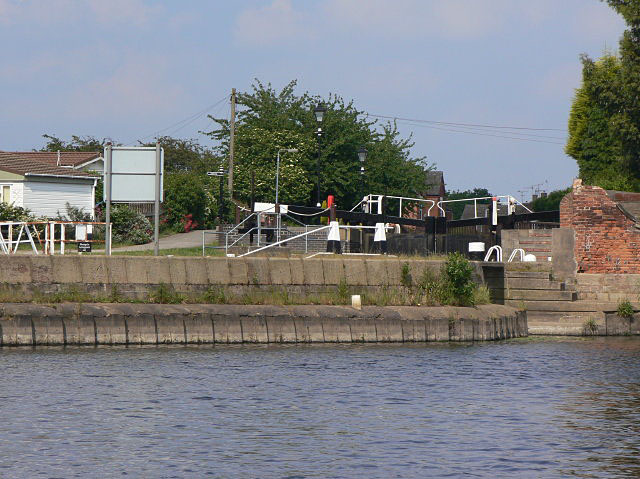
Beeston Lock. The perspective is deceptive as these gates are the top gate of the lock and point towards the camera. The height of the gates is necessary to guard the navigation and the surrounding land during times of high water on the Trent.


