Tenby to Lydstep Walk
![]()
![]() A popular walk along a section of the Pembrokeshire Coast Path from Tenby to Lydstep Point.
A popular walk along a section of the Pembrokeshire Coast Path from Tenby to Lydstep Point.
Starting at Tenby Castle follow the coast path south west along the lovely South Beach. You then climb to Giltar Point where there's nice views along the cliffs.
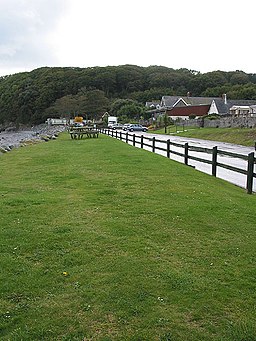
The path continues west along the cliffs to the beautiful Lydstep Haven. It's a really lovely spot with a nice beach and a holiday park.
The path then heads out to Lydstep Point where there are fine views to Lundy Island and the Somerset coast. Also look out for pretty wildflowers in the summer months and wildlife including dolphins and porpoises.
The final section takes you away from the coast to the little hamlet of Lydstep where you can enjoy refreshments at the cafe before catching the bus back to Tenby.
To explore the area to the north of Tenby try the Tenby to Saundersfoot Walk.
If you wanted to extend the walk then you could continue west to the historic Manorbier Castle or to neighbouring Penally. At Tenby you can also catch the ferry over to the beautiful Caldey Island where there's interesting rock formations, beautiful bays and lots of seabirds to look out for.


