Saundersfoot Walks - Circular Walk to Wiseman's Bridge

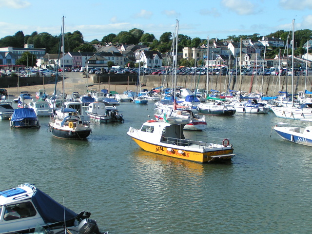
 This delightful village sits in a lovely spot on the Pembrokeshire Coast. There's a picturesque harbour and a beautiful beach to enjoy here.
This circular walk from the village explores the coast path before heading into the surrounding countryside. The route uses sections of the Pembrokeshire Coast Path and the Miners Walk, two long distance footpaths running through the area.
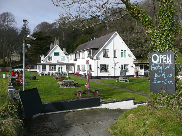
On the walk you'll visit Wiseman's Bridge, Pleasant Valley, Stepaside, Kingsmoor and Bonvilles Court.
Just north of the village look out for the old Stepaside Iron works, which is now a historic ruin. An information panel can be found here, detailing the history of the area. The old dramway here has recently been resurfaced and makes an ideal safe cycle for families all the way into Saundersfoot.
The walk can be extended by heading north east to visit neighbouring Amroth with more details on the Amroth to Saundersfoot Walk. Here you can pay a visit to the lovely Amroth and Colby Woodland Garden where there's acres of interesting plants and flowers to see.
Saundersfoot Ordnance Survey Map  - view and print off detailed OS map
Saundersfoot Open Street Map  - view and print off detailed map
Saundersfoot OS Map  - Mobile GPS OS Map with Location tracking
Saundersfoot Open Street Map  - Mobile GPS Map with Location tracking
Walks near Saundersfoot
- Amroth and Colby Woodland Garden - Enjoy a walk along the lovely coastline at Amroth and visit the National Trust's Colby Woodland Garden
- Amroth to Saundersfoot - A short walk along a delightful stretch of the Pembrokeshire Coast
- Tenby to Saundersfoot Walk - A popular walk along the Pembrokeshire Coast Path from Tenby to the neighbouring village of Saundersfoot
- Circular Walk around Tenby - A circular walk taking you along the coast to Saundersfoot before heading into the countryside surrounding the Pembrokeshire town
- Tenby to Lydstep - A popular walk along a section of the Pembrokeshire Coast Path from Tenby to Lydstep Point
- South of the Landsker Trail - This circular walk explores the Pembrokeshire Coast National Park around Pembroke
- Manorbier Castle - This Norman castle near Tenby is well worth a visit
- Manorbier to Freshwater East Walk - This walk follows a lovely section of the Pembrokeshire Coast Path from Manorbier to the village of Freshwater East.
- Caldey Island - Follow the walking trails around this fascinating and beautiful island off the Pembrokeshire coast, near Tenby
- Narberth - This delightful market town in Pembrokeshire includes an attractive High Street with many Edwardian and Georgian buildings to admire.
- Pendine to Amroth Coastal Path - This walk follows a section of the Wales Coast Path from Pendine to Amroth on the Carmarthenshire coast.
Further Information and Other Local Ideas
If you head east along the Wales coast path you can visit the wonderful Pendine Sands on the Pendine to Amroth Coastal Path. The wide beach is notable as the location of many world land speed record attempts by people such as Sir Malcolm Campbell in Bluebird.


