Walk around Tickhill
![]()
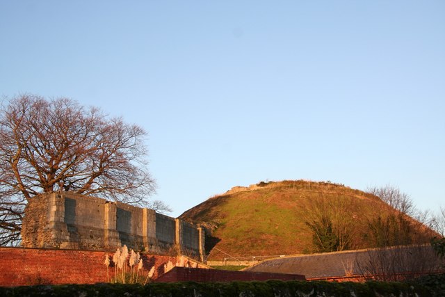
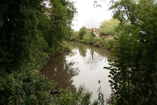
![]() This short circular walk explores Tickhill Castle and the Mill dam walkway in the pretty little Yorkshire village.
This short circular walk explores Tickhill Castle and the Mill dam walkway in the pretty little Yorkshire village.
It's an appealing area with the 12th century castle surrounded by attractive grounds including a mill pond, an old 18th century mill and a moat. The castle is now a private residence but there are public footpaths running past it and around the picturesque mill pond where there are usually plenty of hungry ducks to feed. Today, the castle remains an impressive ruin, retaining its Norman gatehouse, built around 1129–1130. Also of historic interest is the 13th-century parish and the 18th century market cross in the village centre.
Tickhill Ordnance Survey Map  - view and print off detailed OS map
Tickhill Open Street Map  - view and print off detailed map
Tickhill OS Map  - Mobile GPS OS Map with Location tracking
Tickhill Open Street Map  - Mobile GPS Map with Location tracking
Further Information and Other Local Ideas
The Danum Trail passes through the village so you could pick this up to extend your walking in the area. Heading west will take you into neighbouring Maltby.
Head north west and you could pick up the Doncaster River Walk and visit the impressive Conisbrough Viaduct and the rushing Sprotbrough Falls.
A few miles to the north there's the Potteric Carr Nature Reserve to visit. Here you'll find 500 acres of marsh, scrub, waterways, grassland and woodland with lots of wildlife to see as well. The peaceful woodland trails in Sandall Beat Wood on the eastern fringe of Doncaster is another good option.
To the east of Doncaster you can pick up the Peatlands Way to explore Thorne Moors and Hatfield Moors, part of the Humberhead Peatlands National Nature Reserve. The moors are the second largest lowland raised peat bog in England and notable for their diversity of wildlife and plantlife.
To the west there's a lovely lakeside trail and lots of wildlife to see in the popular Thrybergh Country Park. The peaceful woodland trails in Wickersley Woods are also located near here.
Cycle Routes and Walking Routes Nearby
Photos
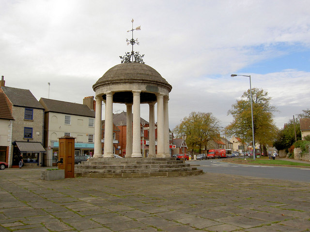
The Market Cross is dated 1777 and stands on the Market Place on the junction of North Gate, Castle Gate and Sunderland Street. According to the Historic England website this Grade II listed LinkExternal link market cross is one of a family which includes Swaffham, Bungay, and Mountsorrel.


