Tunstall Forest Walk and Cycle Trails Map
![]()
![]() This large forest in Suffolk has miles of good footpaths and a 10 mile red graded single-track mountain bike trail. The waymarked route is called the Viking Trail and is a narrow flowing singletrack running through the trees, with twists, berms and some short climbs. It's a fun ride and not too challenging though there are some technically tricky bits. The ride starts at the car park off Tunstall Road towards the northern end of the forest.
This large forest in Suffolk has miles of good footpaths and a 10 mile red graded single-track mountain bike trail. The waymarked route is called the Viking Trail and is a narrow flowing singletrack running through the trees, with twists, berms and some short climbs. It's a fun ride and not too challenging though there are some technically tricky bits. The ride starts at the car park off Tunstall Road towards the northern end of the forest.
This mountain bike route is designed for cyclists but walkers can easily pick up the forest footpaths from the same start location. You can walk down to Tunstall Common and then continue south to the little village of Chillesford for refreshments. From here you can pick up the Suffolk Coast Path to take you back into the forest and then head west to return to the car park.
Postcode
IP12 1PE - Please note: Postcode may be approximate for some rural locationsTunstall Forest Ordnance Survey Map  - view and print off detailed OS map
Tunstall Forest Open Street Map  - view and print off detailed map
*New* - Walks and Cycle Routes Near Me Map - Waymarked Routes and Mountain Bike Trails>>
Tunstall Forest OS Map  - Mobile GPS OS Map with Location tracking
Tunstall Forest Open Street Map  - Mobile GPS Map with Location tracking
Explore the Area with Google Street View 
Pubs/Cafes
After your exercise we'd recommend heading north from the forest to Snape Maltings for some refreshments. There's lots of good choices here with freshly prepared local food and cream teas to cafés overlooking the Alde estuary.
In the village of Snape there is the noteworthy Golden Key public house. The pub is a relaxed cottage-style dining pub dating back to the 1600’s, just tucked away from the main road through the beautiful village. It's packed full of original character, beams, open fires and quirky details. You can find it in the village on Priory Road with a postcode of IP17 1SA for your sat navs.
Dog Walking
Dogs are welcome at the forest and it's an excellent place to explore with them. You'll likely see other dog owners and you can let them off the lead as well.
Further Information and Other Local Ideas
If you'd like to continue your exercise in the area then you could head to the nearby Rendlesham Forest where you'll find family cycle routes on flat well defined paths and quiet country lanes. For walkers there are also two way-marked trails of differing lengths. On the eastern side of the forest there's the Staverton Thicks Walk. This will take you through and extraordinary collection of gnarled, ancient oak trees, many of which are centuries old, some estimated to be over 400 years old.
Just to the north of the reserve you will find the village of Snape and the interesting Snape Maltings. The expansive arts complex on the banks of the River Alde. The Maltings and the forest can also be reached on foot from nearby Saxmundham where there is a train station. You can follow the East Suffolk Line Walks south from the historic market town through the valley of the River Fromus.
The Iken Walk can be picked up on the eastern side of the forest at the Iken Cliff car park. It will take you east along the river to visit the splendid old St Botolph's Church. The ancient place of worship includes a part thatched roof and an ancient nave dating back to the 12th century.
Also nearby is the splendid Orford Ness Nature Reserve. The national trust owned reserve is located on a remote shingle spit by the River Ore and can be accessed by catching the National Trust ferry from Orford Quay.
For more walking ideas in the area see the Suffolk Coast and Heaths and the Suffolk Walks page.
Cycle Routes and Walking Routes Nearby
Photos
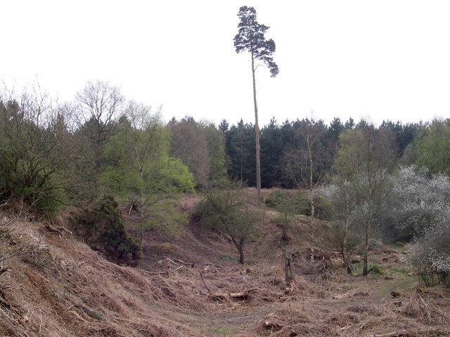
This pond in the forest is a good breeding site for Frog and Toad, the surrounding area is excellent for seeing Adders (the trees in the background are Corsican pines).
Tumulus in the forest. This Bronze age tumulus (on the right) is set on top of a ridge with open views to the north and west and mature Scots Pine to the south west. The remainder of the vista is young (post '87 gale) pine.


