Ullapool Walks
![]()
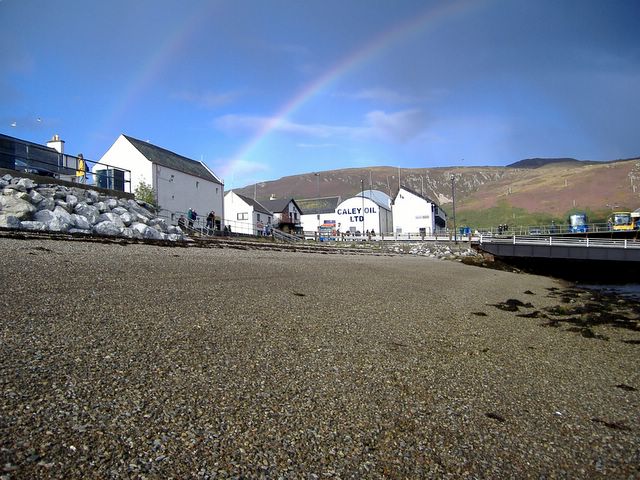
![]() This attractive town sits on the shores of Loch Broom in the north west of Scotland. It's notable as the place where you can catch the ferry over to Stornoway in the Outer Hebrides.
This attractive town sits on the shores of Loch Broom in the north west of Scotland. It's notable as the place where you can catch the ferry over to Stornoway in the Outer Hebrides.
This walk takes you along the harbour and sea wall before climbing to the viewpoint on Ullapool Hill.
The walk starts in the car park in the town centre and heads west to visit the Ullapool River. You can then follow trails around the harbour passing the Stornoway Ferry. The trail then heads east to climb to Meall Mor or Ullapool Hill. The hill stands at a heigh of 270 metres, providing great views over the town to Loch Broom and the sea.
The route then descends back to the town passing the hill's woodland and waterfalls as you go.
Please scroll down for the full list of walks near and around Ullapool. The detailed maps below also show a range of footpaths, bridleways and cycle paths in the area.
Ullapool Ordnance Survey Map  - view and print off detailed OS map
Ullapool Open Street Map  - view and print off detailed map
Ullapool OS Map  - Mobile GPS OS Map with Location tracking
Ullapool Open Street Map  - Mobile GPS Map with Location tracking
Walks near Ullapool
- Corrieshalloch Gorge - This spectacular beauty spot is 1.5 km long and 60 metres deep cutting through a Highland wilderness rich in flora and fauna
- Ardessie Falls - These delightful falls are located on the south western shore of Little Loch Broom in the Scottish Highlands near Dundonnell.
- Loch Maree - This walk visits the beautiful Victoria Falls next to Loch Maree in the Northwest Highlands of Scotland
- Beinn Eighe - Follow the Beinn Eighe Mountain Trail through a beautiful nature reserve on this circular walk near Kinlochewe, in the Torridon area of Wester Ross in the Northwest Highlands of Scotland
- Loch Assynt - This walk visits ruins of Ardvreck Castle on the shores of Loch Assynt near Lochinver, Sutherland
- Eas a' Chual Aluinn - This walk takes you to the highest waterfall in Britain
- Gairloch Waterfall Walk - This walk visits the pretty waterfalls in Flowerdale Glen on the eastern side of Loch Gairloch in Wester Ross.
- Lochinver River Walk - This pleasant riverside walk takes you along the River Inver in the Assynt district of Sutherland, Highland.
- Poolewe - This walk visits the little village of Poolewe, next to Loch Ewe in the Scottish Highlands.
- Knockan Crag - This walk visit the wonderful Knockan Crag National Nature Reserve within the North West Highlands Geopark in the Assynt region of Scotland.
Pubs/Cafes
The Arch Inn is a nice place for some post exercise relaxation and refreshment. It's located in a lovely spot overlooking the loch with views of the Fannich hills. You can find them at postcode IV26 2UR for your sat navs.
Further Information and Other Local Ideas
Head to the southern end of Loch Broom and you could visit the stunning Corrieshalloch Gorge. It's a very scenic area with views of the River Droma and a series of lovely waterfalls.
To the north there's Eas a' Chual Aluinn, the highest waterfall in the UK. The walk also visits Loch na Gainmhich, a popular starting point for the walk to the falls.
Head west and you could visit the village of Poolewe and enjoy a stroll around the beautiful Inverewe Garden. The lochside gardens are a lovely place for a stroll with some nice footpaths taking you to subtropical plants, fine lawns and beautiful flowers. You can also enjoy fine views over Loch Ewe in this scenic area.


