Wark Forest
![]()
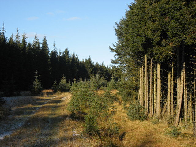
![]() This circular walk explores Northumberland's Wark Forest in the wider Kielder Forest.
This circular walk explores Northumberland's Wark Forest in the wider Kielder Forest.
The expansive forest has miles of peaceful walking and mountain bike trails.
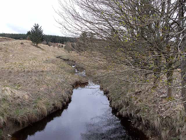
This route starts at Stonehaugh Picnic site where there is a small car park and camping site. The site is a good place to start a variety of walks in the forest. This route takes you north from the site to visit the Blacka Burn and Blackaburn Lough where there are good bird watching opportunities. You'll also pass Standard Hill and Capon Edge where there is a bridleway.
The village of Wark lies just few miles to the east. There's some nice walks along the River North Tyne here.
Postcode
NE48 3DY - Please note: Postcode may be approximate for some rural locationsWark Forest Ordnance Survey Map  - view and print off detailed OS map
Wark Forest Open Street Map  - view and print off detailed map
Wark Forest OS Map  - Mobile GPS OS Map with Location tracking
Wark Forest Open Street Map  - Mobile GPS Map with Location tracking
Further Information and Other Local Ideas
On the south western corner of the forest there are a few good options for continuing your walking around Hadrian's Wall Path. You could visit the fascinating Birdoswald Fort, Walltown Crags and the lovely Crammel Linn Waterfall near Gilsland.


