Weavers' Way
![]()
![]() Follow the Weavers' Way through the beautiful Norfolk Broads from Cromer to Great Yarmouth via North Walsham. The route meanders through the countryside passing Aylsham, North Walsham, Hickling and Acle before finishing at the popular coastal resort of Great Yarmouth. Highlights on the walk include:
Follow the Weavers' Way through the beautiful Norfolk Broads from Cromer to Great Yarmouth via North Walsham. The route meanders through the countryside passing Aylsham, North Walsham, Hickling and Acle before finishing at the popular coastal resort of Great Yarmouth. Highlights on the walk include:
- Felbrigg Hall Park - This National Trust owned country house boasts a landscape park with a lake and 520 acres of woods.
- Blickling Hall - this National Trust owned estate is a treasure trove of romantic buildings, beautiful gardens and landscaped park.
- Hickling Broad - This National Nature Reserve is situated in the upper stretches of the River Thurne, and is the largest expanse of open water in the Broads. Near here there's the pretty village of Potter Heigham where there's a significant 12th century church and a 15th century medieaval bridge to see.
- Rivers Thurne and Bure - Enjoy a long waterside stretch along these two rivers just after passing Hickling Broad
- Breydon Water - The final section runs along the River Yare and the delightful Breydon Water into Great Yarmouth. It is a nature reserve run by the RSPB and includes the fine Roman fort at Burgh Castle.
The walk is waymarked with a green and white disc.
Weavers' Way Ordnance Survey Map  - view and print off detailed OS map
Weavers' Way Open Street Map  - view and print off detailed map
Weavers' Way OS Map  - Mobile GPS OS Map with Location tracking
Weavers' Way Open Street Map  - Mobile GPS Map with Location tracking
Pubs/Cafes
One nice idea is to stop off around the splendid Blickling Hall for some refreshment. The estate has a number of good cafes or you could head to the Bucks Arms if you prefer a pub lunch. The 17th century former coaching inn can be found near the main car park at postcode NR11 6NF. They serve good food and have lovely gardens for summer days.
Further Information and Other Local Ideas
For a nice route using the trail see the Weavers Way Circular Walk which uses part of the trail and the River Bure to create a circular route around Acle and Great Yarmouth.
For more walking ideas in the area see the Norfolk Broads Walks page.
Cycle Routes and Walking Routes Nearby
Photos
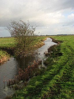
East on the Weavers Way through the Wickhampton Marshes. This section of the Weavers Way follows a meandering drain, leading east towards the Berney Arms Station. Berney Arms Mill can be seen in the distance. This drainage mill is 21 metres high and one of the highest in the Norfolk Broads. It stands at the head of Tile Kiln Reach. Believed believed to have been built during the 1870s for the purpose of grinding cement it has more recently been used for draining the surrounding marshes.
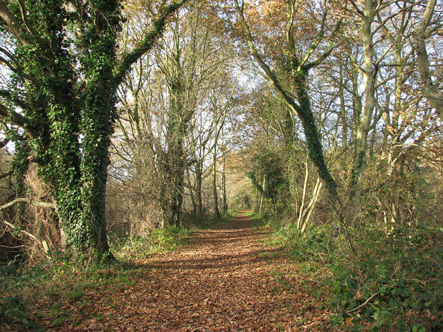
The Weavers Way by Aylsham North railway station. The path here follows a dismantled railway line which was operated by the Midland and Great Northern Joint Railway line, linking the Midlands with the Norfolk Coast. Opened by the Eastern and Midlands Railway, it became the Midland and Great Northern Joint Railway, and was later converted to a joint operation of the London, Midland and Scottish Railway, with the London and North Eastern Railway taking sole operation in 1936. The line was closed in 1959. The bridge carries Church Road across the dismantled railway trackbed.
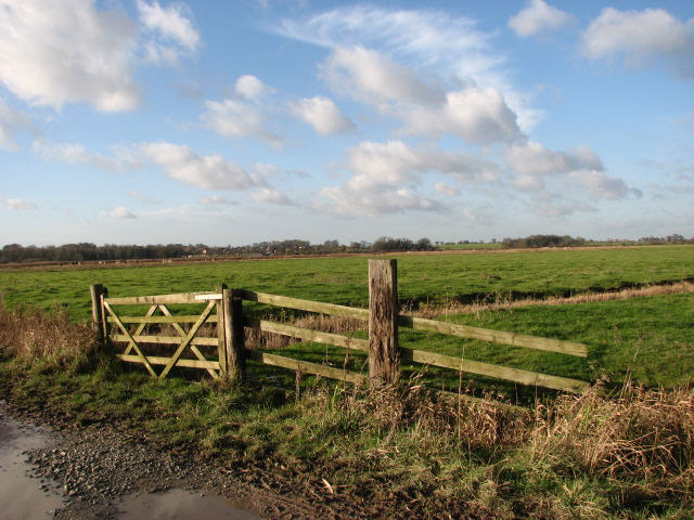
To Halvergate. This farm track - it is called The Knoll - forms a section of the trail, linking Acle and Halvergate. The long distance footpath bypasses these gates to their right via a stile.
Following a meandering drain eastwards to the Berney Arms Station. Berney Arms drainage mill can be glimpsed on the horizon.
Elevation Profile


