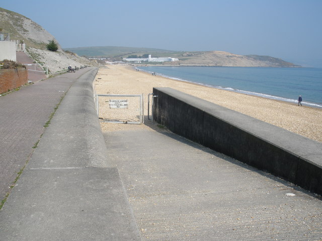
Weymouth to Durdle Door Walk
![]()
![]() Follow the coast path from Weymouth to one of the geological highlights of the Jurassic Coast on this Dorset walk. It's about a 10 mile hike from the town to the picturesque stone arch using an undulating section of the long distance, waymarked footpath.
Follow the coast path from Weymouth to one of the geological highlights of the Jurassic Coast on this Dorset walk. It's about a 10 mile hike from the town to the picturesque stone arch using an undulating section of the long distance, waymarked footpath.
On the way you'll pass Lodmoor Country Park near Weymouth. The park is also a designated nature reserve with an easy access walking path taking you through various habitats including
reedbed, open water, saltmarsh and wet grassland.
You'll also pass the Osmington White Horse near the village of Osmington. The village includes a church dating from the 12th century and picturesque thatched dwellings dating back to the 16th century.
The final section will take you past the attractive Ringstead Bay before coming to Durdle Door. The spectacular natural limestone arch also has an adjacent beach and caves. You can follow a path down to the beach and enjoy a rest and refreshments before the return leg.
To extend the walk you can continue along the path a short distance to Lulworth Cove. This sheltered bay is enclosed almost in a circle and was formed 10,000 years ago by the combined forces of a river and the sea. Next to the cove you will pass the West Lulworth Heritage Centre which contains a museum about the coast and the village.
Weymouth to Durdle Door Ordnance Survey Map  - view and print off detailed OS map
Weymouth to Durdle Door Open Street Map  - view and print off detailed map
Weymouth to Durdle Door OS Map  - Mobile GPS OS Map with Location tracking
Weymouth to Durdle Door Open Street Map  - Mobile GPS Map with Location tracking
Pubs/Cafes
In Osmington Mills you'll find the noteworthy Smuggler's Inn. Situated on the cliff tops of the South West Coast Path, just outside the village of Osmington, the Smugglers Inn is a traditional English pub with stunning views overlooking the Isle of Portland. The pub also has an interesting history having been the headquarters of the French smuggler Pierre Latour and one of the main landing places for smuggled goods in the 17th century. Notably the Inn was originally built in the 13th century, with its own brewery at the rear. There's a lovely large garden area which is perfect for relaxing in when the weather is fine. You can fine the pub right on the coast at a postcode of DT3 6HF for your sat navs.
Further Information and Other Local Ideas
Head a couple of miles inland from Durdle Door and you could visit the historic Lulworth Castle. The castle dates back to the 17th Century and includes some beautiful grounds and gardens. Near here there's the Winfrith Newburgh Heath and Tadnoll Nature Reserves. The reserves include miles of peaceful heathland trails with lots of wildlife and a splendid viewpoint.
Cycle Routes and Walking Routes Nearby
Photos
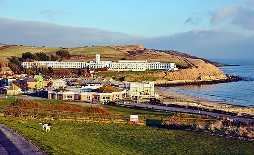
Lodmoor Nature Reserve. You will pass this wildlife rich nature reserve near the start of the walk at Weymouth. Beyond can be seen the Riviera Hotel and, further right, the cliffs of White Nothe.


