Whitefield Moor
![]()
![]() This walk in the forest explores the Whitefield Moor area. The moor is a popular place for walks with waymarked trails around an open area of grassland.
This walk in the forest explores the Whitefield Moor area. The moor is a popular place for walks with waymarked trails around an open area of grassland.
You will often see people playing games as well as ponies, cows and horses grazing here. In contrast to many of the walks in the forest this one is a more open route across open moorland and heathland rather than a woodland trail.
Start the walk from the Whitefield Moor car park, just west of Brockenhurst. From here you can pick up trails taking you around the moor towards Beacham Wood before returning along the Rhinefield Road. The walk then continues west onto White Moor where you can follow trails to the Silver Stream before climbing to Holm Hill. Around here you will climb to a height of over 200 feet with fine views over the surrounding area to enjoy.
The route then heads across Wilverley Plain and Hinchelsea Moor before passing Red Hill and returning to the car park. You can extend the walk on the Longslade Bottom and Longslade View Walk which lies just to the south of the moor.
Postcode
SO42 7QD - Please note: Postcode may be approximate for some rural locationsWhitefield Moor Ordnance Survey Map  - view and print off detailed OS map
Whitefield Moor Open Street Map  - view and print off detailed map
*New* - Walks and Cycle Routes Near Me Map - Waymarked Routes and Mountain Bike Trails>>
Whitefield Moor OS Map  - Mobile GPS OS Map with Location tracking
Whitefield Moor Open Street Map  - Mobile GPS Map with Location tracking
Further Information and Other Local Ideas
You can continue your walking in the area by exploring the pretty Ober Water around Puttles Bridge. The stream is a nice place for a stroll and there's also the nearby Rhinefield House to visit. The hotel is an excellent place for a drink on the terrace before a stroll around the ornamental grounds.
For more walking ideas in the area see the New Forest Walks page.
Cycle Routes and Walking Routes Nearby
Photos
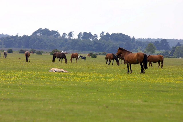
Whitefield Moor. Heavily grazed area of the forest (though all the ponies have avoided this photo) so mostly short grass.
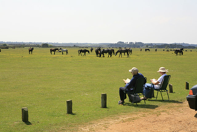
The Moor from Beachern car park. The car park is on the eastern side of the moor and makes for an alternative start point. In the photo a couple sit and enjoy the view across the grassland to the horses and ponies.


