Withypool to Tarr Steps Circular Walk
![]()
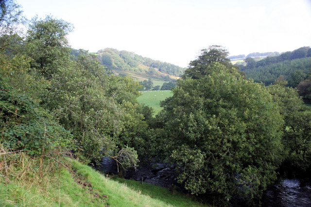
![]() This circular walk from Withypool uses a section of the Two Moors Way to visit the famous Tarr Steps. The first section includes woodland and riverside paths with the return leg taking place on more open country lanes.
This circular walk from Withypool uses a section of the Two Moors Way to visit the famous Tarr Steps. The first section includes woodland and riverside paths with the return leg taking place on more open country lanes.
The walk starts in the pretty village of Withypool, located a few miles north of the steps. From the public car park in the village you can pick up the Two Moors Way and follow the waymarked path east towards Uppington. The trail then turns south to follow the River Barle through woodland to Tarr Steps, passing Bradley Wood and Knaplock Wood on the way. The photogenic clapper bridge is a Scheduled Ancient Monument, dating from the medieval period. It forms part of the Tarr Steps Woodland National Nature Reserve which includes a wide range of interesting flora and fauna.
From the steps you head west to Parsonage Farm before turning north west towards Worth. The route then follows Worth Lane back into the village car park.
Withypool to Tarr Steps Circular Walk Ordnance Survey Map  - view and print off detailed OS map
Withypool to Tarr Steps Circular Walk Open Street Map  - view and print off detailed map
Withypool to Tarr Steps Circular Walk OS Map  - Mobile GPS OS Map with Location tracking
Withypool to Tarr Steps Circular Walk Open Street Map  - Mobile GPS Map with Location tracking
Pubs/Cafes
Head to the Withypool Tea Rooms for some refreshments after your walk. The delightful tea rooms are can be found in the centre of the village, opposite the local olde worlde Shop and yards from the stone Bridge that spans the River Barle. They have an outdoor seating area where you can relax and enjoy a cream tea if the weather is fine. You can find the cafe at postcode TA24 7QP for your sat navs.
Further Information and Other Local Ideas
To continue your walking around Withypool you can try the Landacre Bridge from Withypool Walk which visits a picturesque medieval bridge.
For an alternative route to the steps you could try the Dulverton to Tarr Steps Walk which approaches the site from the south.
The Exford Walk takes you from the pretty village to nearby Winsford along the River Exe. There's also a climb to Bye Hill for some fine views over Exmoor.
To the west is the village of Simonsbath, a popular starting point for a number of walks on Exmoor. Our circular walk visits the River Barle and the source of the River Exe at Exe Head. Near here there's also Pinkery Pond, a remote beauty spot with a picturesque pond popular with wild swimmers. You'll also find the 487m high Chains Barrow Hill in this area.
For more walking ideas in the national park see the Exmoor Walks page.


