Woodstock Walks
![]()
![]() This Oxfordshire market town is famous as the location for the splendid Blenheim Park, a UNESCO World Heritage Site. As well as the trails through the park there's also two fine long distance trails running past the town. This circular walk makes use of the Wychwood Way and Oxford Green Belt Way to take you through the countryside, parkland and woodland surrounding the town.
This Oxfordshire market town is famous as the location for the splendid Blenheim Park, a UNESCO World Heritage Site. As well as the trails through the park there's also two fine long distance trails running past the town. This circular walk makes use of the Wychwood Way and Oxford Green Belt Way to take you through the countryside, parkland and woodland surrounding the town.
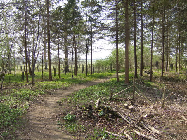
The walk starts in the town centre and follows footpaths north east through the countryside to Sansoms Lane. Follow this north and it will take you onto the Oxford Green Belt Way at Sansoms Farm. Follow the trail west for about a mile and you will cross the River Glyme before picking up a footpath heading south into Blenheim Park. There's nice public footpaths here to follow through the woodland to a lakeside trail. This will lead you east, past the Queen Pool before returning to the town centre.
To continue your walking around Woodstock, head east to pick up the towpath along the Oxford Canal. Around here there's also nice trails along the River Cherwell which you can explore on our Kidlington Circular Walk.
To the south of the town there's nice waterside trails along the Thames Path to Farmoor Reservoir. Near here there's miles of woodland trails in Wytham Woods and the ancient market town of Eynsham to explore.
Woodstock Ordnance Survey Map  - view and print off detailed OS map
Woodstock Open Street Map  - view and print off detailed map
Woodstock OS Map  - Mobile GPS OS Map with Location tracking
Woodstock Open Street Map  - Mobile GPS Map with Location tracking
Walks near Woodstock
- Blenheim Park - This circular walk starts at the magnificent Blenheim palace and takes you on a tour of the beautiful gardens
- Wychwood Way - A long circular walk exploring the Wychwood Forest area of the Cotswolds
- Oxford Green Belt Way - The Oxford Green Belt Way was created by CPRE Oxfordshire to celebrate its 75th anniversary and 50 years of Oxford's Green Belt
- Kidlington Circular Walk - This walk takes you around the pretty village of Kidlington near Oxford
- Oxford Canal Walk - Follow the Oxford Canal from Oxford to Coventry on this splendid waterside walk
- Wytham Woods - Enjoy miles of walking trails through this expansive wood in Oxfordshire
- Thames Path - Starting at the Source of the Thames at Thames Head in Gloucestershire, follow the iconic river through beautiful countryside and historic towns to the city of London.
- Farmoor Reservoir - Enjoy an easy circular walk around this pretty reservoir near Oxford
- Palladian Way - Walk from Buckingham to Bath through the beautiful countryside of Buckinghamshire, Gloucestershire, Oxfordshire and Wiltshire on this trail named after Andre Palladio's Italian architecture
- Claude Duval Bridleroute - This shared walking and cycle path runs from Quainton, near Aylesbury in Oxfordshire to Great Barrington in the Cotswolds.
This route is named after the well-known local highwayman, Claude Duval - Eynsham - This attractive Oxfordshire based town is in a great spot riverside and country walks
- Kirtlington Quarry - This walk explores the Oxfordshire village of Kirtlington visiting the Kirtlington Quarry Nature Reserve, the River Cherwell and the Oxford Canal Walk.
Further Information and Other Local Ideas
To the north east there's Kirtlington where you can explore the Kirtlington Quarry Nature Reserve. It's an interesting site where the fossils of several species of extinct mammal having been found. The historic Kirklington Park estate is also located in this area.


