Woolpit Walks

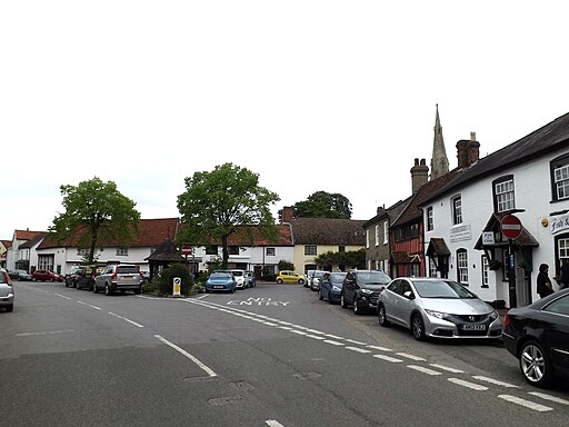
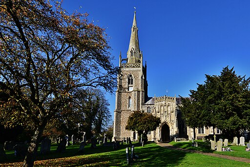
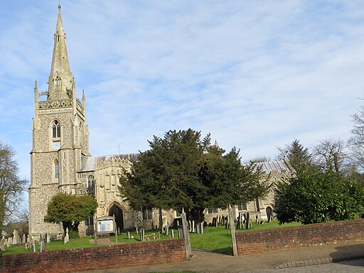
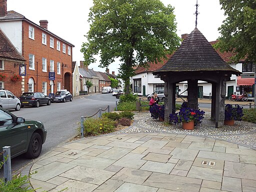
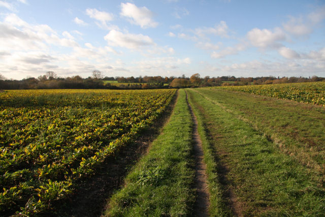
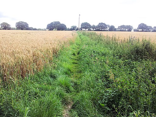
 This Suffolk village is located close to the towns of Bury St Edmunds and Stowmarket.
Local walking highlights include Haughley Park which lies just east of the village. There's some nice woodland trails and beautiful landscaped gardens to enjoy here. You are also very near to the popular town of Stowmarket where you can continue your walking along the lovely Gipping Valley River Path.
Please scroll down for the full list of walks near and around Woolpit. The detailed maps below also show a range of footpaths, bridleways and cycle paths in the area.
There is also a video below which discovers the old jail, a past shrine, a secret holy well, and tells the tale of the mysterious Green Children of Woolpit. The 12th-century legend is an interesting tale associated with the village.
Postcode
IP30 9SA - Please note: Postcode may be approximate for some rural locationsWoolpit Ordnance Survey Map  - view and print off detailed OS map
Woolpit Open Street Map  - view and print off detailed map
Woolpit OS Map  - Mobile GPS OS Map with Location tracking
Woolpit Open Street Map  - Mobile GPS Map with Location tracking
Walks near Woolpit
- Haughley Park - The historic Haughley Park is located just west of the Suffolk village of Haughley.
Pubs/Cafes
The Bull Inn serves high quality dishes and also provides accommodation. They have a nice garden and a car parking area too. You can find them at postcode IP30 9SA.
