Haughley Park Walks

 The historic Haughley Park is located just west of the Suffolk village of Haughley.
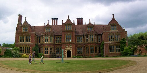
It's a private estate but is sometimes open to the public for special events. For example there are the bluebell walks in April and May where you can explore the estate's woodland trails and enjoy the beautiful landscaped gardens. There's also the fine red brick country house which dates back to 1620 when it was built for the Sulyard family who were very prominent landowners in this area.
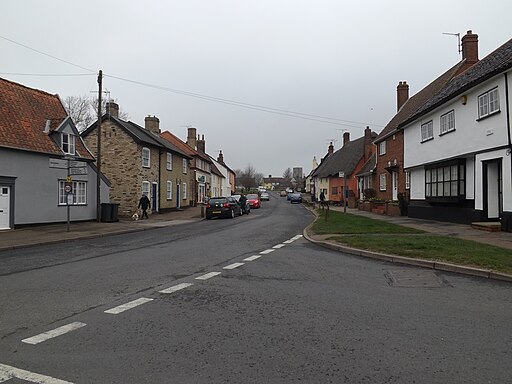
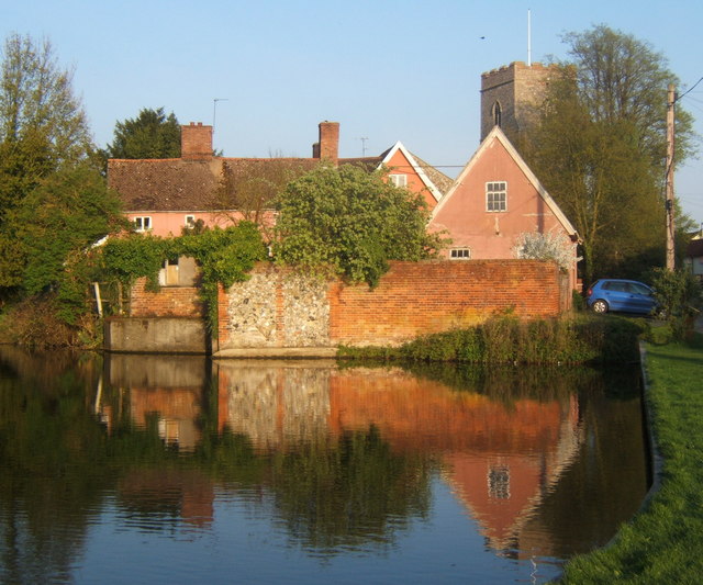
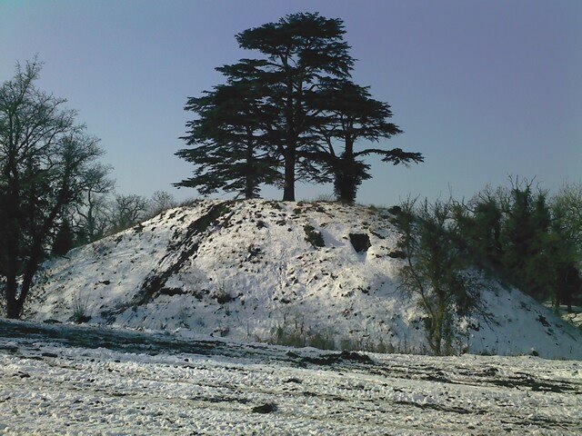
The nearby village of Haughley is also well worth a visit. The village includes a noteworthy Grade I listed church dating to the medieval period and a Tudor moated farm. There's also a pretty village green and a motte and bailey castle considered to be one of the best-preserved earthworks in the county.
The park lies just to the north west of Stowmarket where you can continue your walking along the lovely Gipping Valley River Path.
Haughley Park Ordnance Survey Map  - view and print off detailed OS map
Haughley Park Open Street Map  - view and print off detailed map
Haughley Park OS Map  - Mobile GPS OS Map with Location tracking
Haughley Park Open Street Map  - Mobile GPS Map with Location tracking
Walks near Haughley
- Stowmarket - Enjoy a walk along the River Gipping on this walk from Stowmarket to Needham Market
- Gipping Valley River Path - Follow the River Gipping from Stowmarket to Ipswich on this pleasant riverside walk
- Mid Suffolk Footpath - This footpath runs from Hoxne to Stowmarket through the Suffolk countryside
- Ipswich - A circular walk around Ipswich with lovely river views and visits to a series of attractive parks
- Bradfield Woods - This National Nature Reserve near Bury St Edmunds is one of the best places in Suffolk for wildlife
- Needham Lake - Enjoy an easy stroll around Needham Lake on this short walk in Needham Market
- Eye - This walk visits the Suffolk market town of Eye
- Coddenham - This walk explores the parkland, countryside and rivers around the Suffolk village of Coddenham
- Thornham Magna - This attractive Suffolk village includes a 14th century church, a fine 15th century pub and wonderful walking trails in the Thornham Hall Estate.
- Woolpit - This Suffolk village is located close to the towns of Bury St Edmunds and Stowmarket.
Pubs/Cafes
In the village there's the King's Arms to visit. The pub dates back to the 16th century and has a cosy interior with a lovely large garden area as well. You can find them at postcode IP14 3NT. They are dog friendly.
