Gormire Lake Walk
![]()
![]() A short and easy walk around this pretty lake in the North York Moors. You can follow a walking trail from the Kilburn White Horse car park to the lake. It's about a 2 mile walk north from the white horse with a woodland section through Hood Grange Wood. After passing along the lake you head past Gormire Rigg before returning on a mixture bridleways and footpaths.
A short and easy walk around this pretty lake in the North York Moors. You can follow a walking trail from the Kilburn White Horse car park to the lake. It's about a 2 mile walk north from the white horse with a woodland section through Hood Grange Wood. After passing along the lake you head past Gormire Rigg before returning on a mixture bridleways and footpaths.
The walk can be extended to visit Sutton Bank and the Kilburn White Horse. Sutton Bank is a high point in the Hambleton Hills and commands splendid views over the North York Moors, the Vale of York and the Vale of Mowbray.
The Cleveland Way runs past Sutton Bank so you could pick up the trail and head north to further explore the Hambleton Hills.
Postcode
YO7 2QE - Please note: Postcode may be approximate for some rural locationsGormire Lake Ordnance Survey Map  - view and print off detailed OS map
Gormire Lake Open Street Map  - view and print off detailed map
Gormire Lake OS Map  - Mobile GPS OS Map with Location tracking
Gormire Lake Open Street Map  - Mobile GPS Map with Location tracking
Pubs/Cafes
The Sutton Bank National Park Centre is located just east of the lake. There is a good cafe here selling a fine range of meals and snacks. The centre also has a car park so you could start the walk from here if you prefer. This would take you through the Garbutt Wood Nature Reserve where there is a wide variety of flora and fauna to see. There is also the viewpoint at Whitestone Cliff in this area. You can find the centre at postcode YO7 2EH for your sat navs.
Further Information and Other Local Ideas
A few miles to the north you can visit the village of Hawnby and enjoy a climb to the splendid viewpoint at Hawnby Hill. There's wonderful views over Ryedale from this elevated spot.
The circular Felixkirk Walk visits the lake from the nearby village.
Cycle Routes and Walking Routes Nearby
Photos
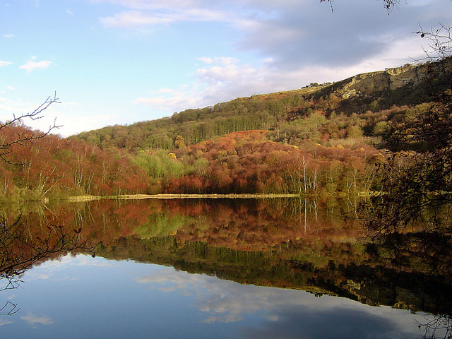
Gormire Lake 1. The lake has no inflow or major outflow of water. It is thought to be fed by an underground spring and drained by a limestone channel so the water finds a way out through the base of the cliff face to the east of the lake.
Gormire Lake from Sutton Bank. The lake is popular with wild swimmers as it has no streams feeding it. As such there is very little current and the waters are described as being quite warm.
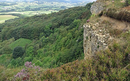
View over Garbutt Wood. The woodland is located on the eastern side of the lake. There are occasional views from the nature trail path that winds it's way through the wood below the Whitestone Cliff. On a clear day the view extends to Penhill at the entrance to Wensleydale [distance - left of centre].


