Great Shunner Fell Walk
![]()
![]() Climb to the highest point in Wensleydale on this popular walking route in the Yorkshire Dales National Park. The route begins at the village of Hardraw near to the lovely Hardraw Force Walk waterfalls. It then follows the Pennine Way National Trail to the fell top which lies about 4.5 miles north of the village. As such the path is well defined and way-marked. The route continues along the trail to Thwaite where there is an old bridge and some waterfalls. You can turn it into a circular walk by following the Cliff Gate Road south if you prefer.
Climb to the highest point in Wensleydale on this popular walking route in the Yorkshire Dales National Park. The route begins at the village of Hardraw near to the lovely Hardraw Force Walk waterfalls. It then follows the Pennine Way National Trail to the fell top which lies about 4.5 miles north of the village. As such the path is well defined and way-marked. The route continues along the trail to Thwaite where there is an old bridge and some waterfalls. You can turn it into a circular walk by following the Cliff Gate Road south if you prefer.
There are fabulous views from the summit of Wensleydale to the south, Ribblesdale to the south west and Swaledale to the north, as well as views into Cumbria and County Durham.
To extend your walking in this lovely area you could pick up the 10 mile Hawes Circular Walk which takes you on a tour of the rivers, becks, waterfalls and hills surrounding the town.
Great Shunner Fell Ordnance Survey Map  - view and print off detailed OS map
Great Shunner Fell Open Street Map  - view and print off detailed map
Great Shunner Fell OS Map  - Mobile GPS OS Map with Location tracking
Great Shunner Fell Open Street Map  - Mobile GPS Map with Location tracking
Pubs/Cafes
The Green Dragon Inn is the gateway to the Hardraw falls and a special place to go for some refreshments after your climb. The pub has an interesting history dating right back to the 13th century. Hardraw is old English for Shepherds dwelling, and the land once formed part of land owned by the Cistercian Monks, who settled here before moving to Jervaulx Abbey in lower Wensleydale. They kept a Grange at Hardraw and possibly a small chantry chapel. Parts of the bar are thought to date back to the 14th century.
The pub has a good selection of beers and a good menu if you wish to dine.


Pictured above, the exterior and interior of the Green Dragon. The lovely old unspoilt and unaltered interior has a wealth of period features including a cosy real fire. There's also a few tables outside if the weather is decent.
Further Information and Other Local Ideas
The circular Garsdale Walk starts from the nearby Garsdale train station on the Settle and Carlisle Line. It's a beautiful place with trails along the Grisedale Beck and more pretty waterfalls to see. The area lies just a few miles to the north west of Hardraw. Near here there's also the noteworthy Uldale Force. This impressive waterfall is located in a striking limestone gorge on the River Rawthey. There's also a series of smaller waterfalls so the area is well worth a visit especially after rainfall.
Cycle Routes and Walking Routes Nearby
Photos
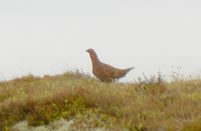
A red grouse on the hill. The fell is home to a variety of wildlife, including red grouse, curlews, and golden plovers. The mountain is also home to several rare plant species, including the nationally scarce purple saxifrage.
Looking Towards Hawes from Great Shunner Fell. Although Hawes, down in Wensleydale, cannot actually be seen, Yorburgh and Wether Fell on the far side of the dale can be made out.
Repaired path, Hearne Head on Great Shunner Fell. The popularity of the route had eroded vegetation from a strip 70 metres wide across the moor, which has been alleviated since 1996 by the construction of this path made of flagstones.


