Loughrigg Tarn Walk

 This circular walk takes you to the lovely Loughrigg Tarn from Skelwith Bridge. The walk starts from the Skelwith Bridge Hotel and follows country lanes and footpaths around the pretty tarn. It's a fairly easy climb to the high point above the tarn with splendid views of the surrounding fells. It's a secluded peaceful spot which was a favourite of William Wordsworth.
It's possible to continue your walk north and climb to the top of Loughrigg Fell. The Colwith Force waterfall walk also starts from Skelwith Bridge. It follows the Cumbria Way to the 40ft falls through some lovely countryside and woodland.
If you would like to visit the tarn from Ambleside then try our Ambleside to Skelwith Bridge Walk which visits the tarn.
Loughrigg Tarn Ordnance Survey Map  - view and print off detailed OS map
Loughrigg Tarn Open Street Map  - view and print off detailed map
Loughrigg Tarn OS Map  - Mobile GPS OS Map with Location tracking
Loughrigg Tarn Open Street Map  - Mobile GPS Map with Location tracking
Explore the Area with Google Street View 
Pubs/Cafes
The Skelwith Bridge Hotel at the start of the walk has a nice outdoor area with views of the surrounding fells. Round the corner there's also the Chesters by the River cafe. Here you'll find a nice riverside deck where you can sit outside and enjoy lunch on finer days. There's delicious salads, specials, cakes and a shop where you can buy souvenirs. You can find it at postcode LA22 9NW for your sat navs.
Further Information and Other Local Ideas
Just to the north there's the climb to Silver How from Grasmere. The walk also visits the National Trust owned Allan Bank, the former home of William Wordsworth.
For more walking ideas in the area see the Ambleside Walks and Lake District Walks pages.
Cycle Routes and Walking Routes Nearby
Photos

Loughrigg Tarn Looking towards Loughrigg Fell with beautiful autumn trees. Photo taken from the lane to the south west side of the tarn.

Snowy scene at the tarn during December 2009. The tarn is about 34 feet deep

Panoramic of Loughrigg Tarn, viewed from the circular footpath, with the Langdale Pikes prominent in the distance.

Start of footpath around the tarn. "Loughrigg" means "ridge of the lough (lake)".

North shore of the tarn on a chilly April day. The Tarn was a favoured spot of the famous Lake's poet William Wordsworth, who, in his Epistle to Sir George Howland Beaumont Bart, likened it to “Diana’s Looking-glass... round, clear and bright as heaven," in reference to Lake Nemi, the mirror of Diana in Rome.

View over the lake with the Langdale Pikes making a splendid backdrop. Alfred Wainwright noted that the tarn is "one of the most secluded of tarns", rarely being visible from the fells. He also stated that Loughrigg Fell is the only Lake's fell to share its name with a tarn, although he might have overlooked Scoat Fell (Scoat Tarn) and Bowscale Fell (Bowscale Tarn).
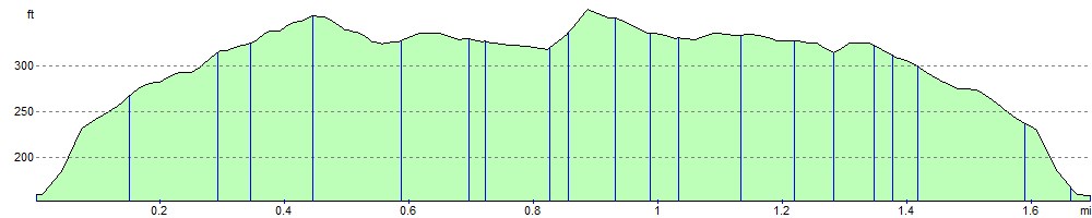
Elevation Profile