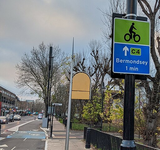
Cycleway 4
![]()
![]() This is the first completed section of London's Cycleway 4 running from Tower Bridge to Rotherhithe Roundabout along the Jamaica Road.
This is the first completed section of London's Cycleway 4 running from Tower Bridge to Rotherhithe Roundabout along the Jamaica Road.
The fully segregated bidirectional path was opened in 2020. You'll pass Bermondsey tube station before finishing in Rotherhithe next to Southwark Park where there are some off nice road cycle trails to try through the park.
When complete Cycleway 4 will run from Tower Bridge to Greenwich.
To continue your cycling in the area see Cycleway 6, Quietway 1 and Quietway 2.
Cycleway 4 Ordnance Survey Map  - view and print off detailed OS map
Cycleway 4 Open Street Map  - view and print off detailed map
Cycleway 4 OS Map  - Mobile GPS OS Map with Location tracking
Cycleway 4 Open Street Map  - Mobile GPS Map with Location tracking
Cycle Routes and Walking Routes Nearby
Photos
Jamaica Road, Bermondsey Looking east along Jamaica Road, the A200, a main route into south-east London. The name is believed to have derived from Jamaica House which stood nearby until about 1860. The house is mentioned by Samuel Pepys in his diary in 1667, and was itself probably named after the newly-acquired colony.


