Hampstead Heath Circular Walking and Cycling OS Map
![]()
![]() This circular walk explores London's famous Hampstead Heath. It runs for a distance of just over 3 miles, visiting several of the parks' highlights.
This circular walk explores London's famous Hampstead Heath. It runs for a distance of just over 3 miles, visiting several of the parks' highlights.
The large park covers 790 acres and contains miles of well laid out footpaths. You can climb the 98 metre (322 ft) high Parliament Hill for terrific views of major London landmarks such as Canary Wharf, the Gherkin, the Shard and St Paul's Cathedral. Along the eastern edge of the park are the pretty Highgate ponds which include three open-air public swimming pools. At the northern end of the heath you'll find Kenwood House. This former stately home is run by English Heritage and consists of gardens, ancient woodland and sculptures by Barbara Hepworth, Henry Moore and Eugene Dodeigne.
Several long distance walking trails run past the heath - you could pick up Dollis Valley Green Walk, Green London Way or the Capital Ring if you would like to extend your walk.
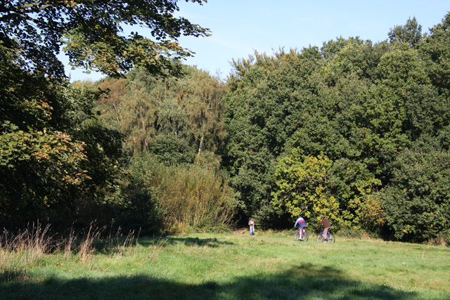
The route below is devised for walkers but cycling is also permitted on the heath but please be respectful of other users. Click here to see a map of the heath with the cycle route marked out.
Hampstead Heath Ordnance Survey Map  - view and print off detailed OS map
Hampstead Heath Open Street Map  - view and print off detailed map
*New* - Walks and Cycle Routes Near Me Map - Waymarked Routes and Mountain Bike Trails>>
Hampstead Heath OS Map  - Mobile GPS OS Map with Location tracking
Hampstead Heath Open Street Map  - Mobile GPS Map with Location tracking
Pubs/Cafes
The Parliament Hill Cafe is a nice place to stop for refreshments. It's in a nice location, next to the bandstand in the park. There's a good range of snack and an outdoor seating area to relax in warmer days. You can find it at postcode NW5 1QR for your sat navs.
There's an abundance of fine cafes and pubs around the heath as well. One noteworthy place worth consideration is The Spaniards Inn. The pub dates from 1585 and has some interesting literary connections. John Keats apparently penned Ode to a Nightingale in the garden and the pub is also mentioned in Charles Dickens’ Pickwick Papers. There's an attractive interior with oak-panelled walls, chandeliers, beams and log fires. Outside there's a nice garden with a BBQ on warmer days. You can find the inn on Spaniards Road at the north western end of the heath. Postcode for your sat nav is NW3 7JJ.
Dog Walking
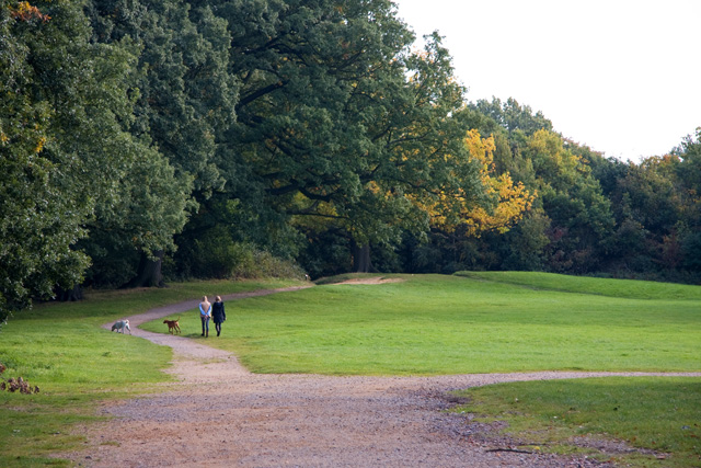
The heath is a fantastic place for dog walking and you will see lots of other people walking their pet on your outing.
Cycle Routes and Walking Routes Nearby
Photos
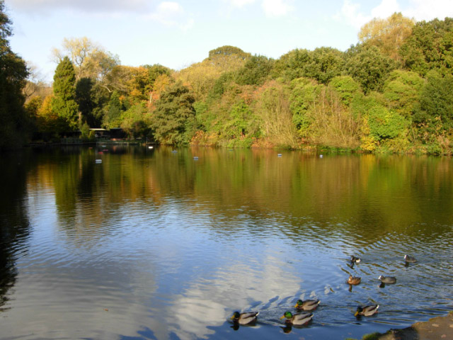
Mixed Bathing Pond. This pond is the uppermost of the three Hampstead Ponds at the southern end of Hampstead Heath, created in the 18th century by damming Hampstead Brook, a tributary of the River Fleet,to supply London with water. Mixed bathing is allowed here during the summer months.


