National Cycle Route 10
![]()
![]() This signed Sustrans cycle route crosses England from west to east. The route starts at Cockermouth and head east to North Shields, passing Carlisle and Bellingham on the way.
This signed Sustrans cycle route crosses England from west to east. The route starts at Cockermouth and head east to North Shields, passing Carlisle and Bellingham on the way.
Route highlights include the wonderful Kielder Forest where there are miles of off road trails and the splendid Kielder Forest Lakeside Way.
The route makes up much of the popular Reivers Route which continues to Whitehaven on the west coast.
National Cycle Route 10 Ordnance Survey Map  - view and print off detailed OS map
National Cycle Route 10 Open Street Map  - view and print off detailed map
National Cycle Route 10 OS Map  - Mobile GPS OS Map with Location tracking
National Cycle Route 10 Open Street Map  - Mobile GPS Map with Location tracking
Further Information and Other Local Ideas
In the Gretna area you can pick up National Cycle Route 74 which runs north through the South Lanarkshire countryside to Glasgow.
Cycle Routes and Walking Routes Nearby
Photos
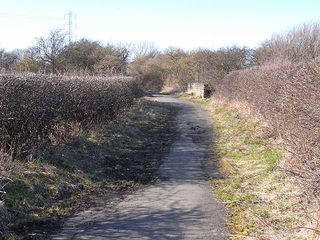
Reiver's Cycle Route, Backworth The Reiver's Cycle Route (Regional route 10 of the National Cycle Network) runs from Tynemouth via Kielder and Carlisle to Whitehaven, and acts as a "return" route for the world-famous C2C cycle route. Here it follows a narrow tarmac lane (closed to motor traffic) through the abandoned industrial areas of north Tyneside.


