National Cycle Route 14
![]()
![]() Sustrans Route 14 runs from Darlington to South Shields through County Durham and Tyne and Wear.
Sustrans Route 14 runs from Darlington to South Shields through County Durham and Tyne and Wear.
The signed route includes several traffic free sections along old railway lines. This includes the popular Lanchester Valley Walk which runs from Durham to Consett, passing the 13th century Beaurepaire Priory and Lanchester Roman Fort. The route also links up with the Consett and Sunderland Railway Path at Consett.
The section between Stockton-on-Tees and South Shields is known as the Three Rivers Cycle Route.
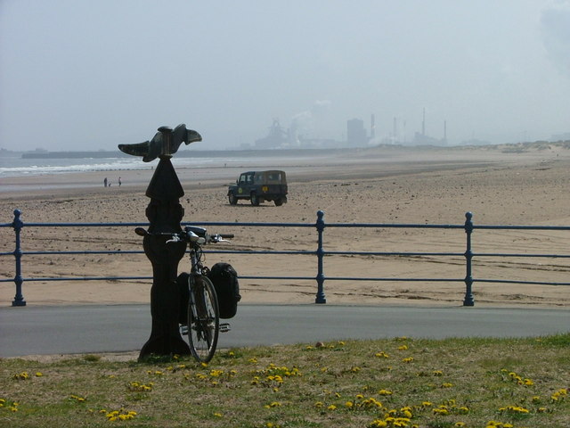
The final waterside section runs through Gateshead along the River Tyne to finish at South Shields on the coast.
Near Stockton the route links up with the Castle Eden Walkway, another popular rail trail suitable for walkers and cyclists.
Other route highlights include Cowpen Bewley Woodland Park, Billingham Beck Valley Country Park and the pleasant lakeside trail at Hetton Lyons Country Park which is slightly off the route near Durham.
Below you can see a list of manageable day rides along the route. Scroll down further for videos and the gpx file.
Cycle Routes along National Cycle Route 14
- Middlesbrough to Darlington - Follow National Cycle routes 1 & 14 on this pleasant ride
- Billingham to Hartlepool - Starting near Billingham rail follow NCN route 14 first through Cowpen Bewley Country Park before finishing on a lovely coastal stretch along Tees Bay
- Hartlepool to Seaham - Follow the trail to the pretty harbour at Seaham, passing Hetton Lyons Country Park on the way.
- Middlesbrough to Durham - Travel from Yorkshire into County Durham along National Cycle routes 14 and 1
- Lanchester Valley Walk - This shared cycling and walking path uses the route of the railway originally built to carry iron ore to Consett Steelworks
- Haswell to Hart - An easy shared cycling and walking route running from Haswell to Hart along route 14 and a disused railway line.
National Cycle Route 14 Ordnance Survey Map  - view and print off detailed OS map
National Cycle Route 14 Open Street Map  - view and print off detailed map
National Cycle Route 14 OS Map  - Mobile GPS OS Map with Location tracking
National Cycle Route 14 Open Street Map  - Mobile GPS Map with Location tracking
Further Information and Other Local Ideas
The route links up with the epic W2W Cycle Route - NCN 70 at Durham and Sherburn. The long distance ride runs from coast to coast from Walney Island in Cumbria to Wearmouth in Sunderland.
Cycle Routes and Walking Routes Nearby
Photos
Lintz Green. Constructed in 1867 and running from Swalwell on the River Tyne up to Consett, the Derwent Valley railway finally closed in 1963. The footway on the line of the old railway has been converted into a cycleway and forms part of National Cycle Network route 14.
Haswell to Hart Railway Path, near Shotton Colliery. Part of the National Cycle Network. A-frame access control in a vain attempt to keep motorcyclists off the path


