Peterborough to Spalding
31.1 miles (50 km)
![]()
![]() This lovely flat route follows National Cycle routes 63 and 12 passing through Cambridgeshire and Lincolnshire. The route starts in Peterborough first following the River Nene out of the town centre to the lovely Ferry Meadows Country Park. Much of the route is off road with pleasant stretches along various waterways including the River Welland. The route finishes in Spalding near the train station.
This lovely flat route follows National Cycle routes 63 and 12 passing through Cambridgeshire and Lincolnshire. The route starts in Peterborough first following the River Nene out of the town centre to the lovely Ferry Meadows Country Park. Much of the route is off road with pleasant stretches along various waterways including the River Welland. The route finishes in Spalding near the train station.
The Peterborough Green Wheel Cycle Route is a great way of further exploring the city on a signed route. The fairly easy 20 mile circular trail visits Ferry Meadows, the River Nene Way and the villages of Marholm and Etton.
Peterborough to Spalding Ordnance Survey Map  - view and print off detailed OS map
Peterborough to Spalding Open Street Map  - view and print off detailed map
Peterborough to Spalding OS Map  - Mobile GPS OS Map with Location tracking
Peterborough to Spalding Open Street Map  - Mobile GPS Map with Location tracking
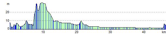
Cycle Routes and Walking Routes Nearby
Elevation Profile