Peterborough Green Wheel
![]()
![]() This circular cycle route explores the area around the Cambridgeshire city of Peterborough.
This circular cycle route explores the area around the Cambridgeshire city of Peterborough.
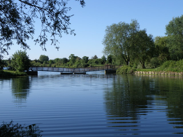
The route is part of the National Cycle Network and visits some of the highlights of the area including the pretty lakes at Ferry Meadows Country Park and a riverside section along the River Nene. On the way you'll also pass through Werrington, Woodston, Glinton, Marholm and Etton. There's a good mixture of on road and traffic free paths on the fairly easy 20 mile route. Much of it is fine for walkers too.
Peterborough Green Wheel Ordnance Survey Map  - view and print off detailed OS map
Peterborough Green Wheel Open Street Map  - view and print off detailed map
Peterborough Green Wheel OS Map  - Mobile GPS OS Map with Location tracking
Peterborough Green Wheel Open Street Map  - Mobile GPS Map with Location tracking
Further Information and Other Local Ideas
To continue your cycling around the city you can try the Peterborough to Kettering, Peterborough to March, Peterborough to Spalding and Peterborough to Stamford routes. There's also the Crown Lakes Country Park and the Castor Hanglands Nature Reserve to visit in the city.
National Cycle Route 63 runs through the city. You could pick it up and enjoy a riverside cycle on the Peterborough To Whittlesey route.


