Pier To Pier Cycle Route

 This signed Sustrans cycle route runs from Southport to Wigan along National Route 562.
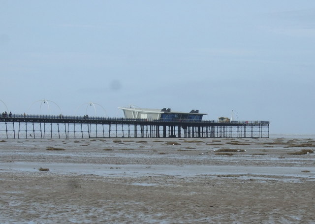
The route links the famous sea front pier in Southport with the area of Wigan Pier around the Leeds and Liverpool Canal in the Greater Manchester town of Wigan.
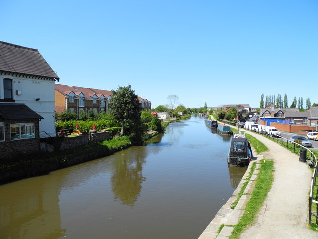
The trail follows fairly flat country lanes through Burscough before picking up the Leeds and Liverpool Canal for a nice traffic free waterside section. This will take you through Appley Bridge before finishing in Wigan. Wigan Pier is a pleasant and interesting area to explore with the historic old mills, the wildlife rich Wigan Flashes and some fine pubs and cafes for refreshments.
The route runs for just over 20 miles on fairly flat paths so should be suitable for most abilities.
In Southport the route links with National Cycle Route 62 which you could follow south along the coast towards Ainsdale, Formby, Crosby and Liverpool.


