Southwell Trail - Farnsfield - Bilsthorpe Walk
![]()
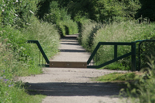
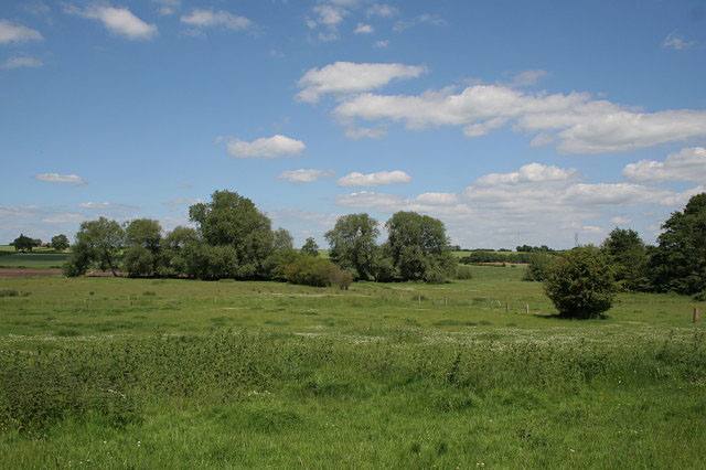
![]() This traffic free cycling and walking trail links Southwell to Bilsthorpe in the Sherwood Forest area of Nottinghamshire. It's a good one for families as the path is well defined, flat and safe. It runs for just about 7 miles along a disused railway line which was closed in 1968. On the way you'll pass the villages of Farnsfield, Kirklington and Maythorne with views of the River Greet as well.
This traffic free cycling and walking trail links Southwell to Bilsthorpe in the Sherwood Forest area of Nottinghamshire. It's a good one for families as the path is well defined, flat and safe. It runs for just about 7 miles along a disused railway line which was closed in 1968. On the way you'll pass the villages of Farnsfield, Kirklington and Maythorne with views of the River Greet as well.
The trail runs next to the Robin Hood Way so you could pick this up and head into Sherwood Forest to extend your outing.
Postcode
NG25 0QD - Please note: Postcode may be approximate for some rural locationsSouthwell Trail Ordnance Survey Map  - view and print off detailed OS map
Southwell Trail Open Street Map  - view and print off detailed map
*New* - Walks and Cycle Routes Near Me Map - Waymarked Routes and Mountain Bike Trails>>
Southwell Trail OS Map  - Mobile GPS OS Map with Location tracking
Southwell Trail Open Street Map  - Mobile GPS Map with Location tracking
Pubs/Cafes
Near the start of the trail there's the excellent Final Whistle to visit. The pub is themed around the old Southwell Railway Station and includes lots of interesting memorabilia. There's also a nice garden area which has been made into a charming mock station. The pub has a fine selection of real ales and also serves basic food as well. You can find them at Station Road with a postcode of NG25 0ET for your sat navs.
At the other end of the route there's The Copper Beech at Bilsthorpe. It's a lovely village pub, serving fine food with a great atmosphere. You can find them very close to the trail end on the Kirklington Road at postcode NG22 8SS.
Dog Walking
The tree lined path is a nice one to do with your dog. There are bikes around so it's best to keep them on leads or under close control. The Final Whistle pub mentioned above is also dog friendly.
Further Information and Other Local Ideas
In Southwell a visit to the impressive Southwell Minster is highly recommended. The minster and cathedral dates from the early 12th century and includes wonderful Romanesque and Gothic architecture. You can find it in the town centre on Church Street with a postcode of NG25 0HD.
A few miles north of Bilsthorpe you'll find Sherwood Forest Country Park. The park has a number of good cycling and walking trails where you can continue your exercise. You can also visit the 800 year old Major Oak which is rumoured to be the base of Robin Hood.
Sherwood Pines Forest Park, Vicar Water Country Park and Rufford Country Park are also near the end of the route.
Head south and you can pick up the Trent Valley Way around the villages of Fiskerton and Rolleston. The riverside path can be follwed south west along the Trent towards Nottingham. The trail will take you past the settlements of Shelford and Radcliffe on Trent where you can try the popular cliff walk.
For more walking ideas in the area see the Nottinghamshire Walks page.


