Stadt Moers Park
![]()
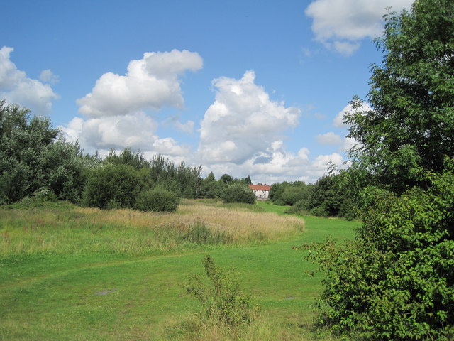
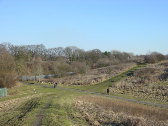
![]() Explore 220 acres of meadows, woodland and ponds in this splendid country park in Knowsley. There are a series of excellent walking tracks taking you through grassland, marsh areas and young woodland. There is also a cycleway so you could bring your bike too.
Explore 220 acres of meadows, woodland and ponds in this splendid country park in Knowsley. There are a series of excellent walking tracks taking you through grassland, marsh areas and young woodland. There is also a cycleway so you could bring your bike too.
The park is located near St Helens, Widnes, Prescot, Whiston and Huyton. You could extend your walking in the area by heading north west to visit the splendid Croxteth Country Park. There's a fine old hall surrounded by 500 acres of woodland and parkland here. Knowsley Hall Park with its 15th century hall and safari park attraction can also be found in this area.
Postcode
L35 3RG - Please note: Postcode may be approximate for some rural locationsStadt Moers Park Ordnance Survey Map  - view and print off detailed OS map
Stadt Moers Park Open Street Map  - view and print off detailed map
Stadt Moers Park OS Map  - Mobile GPS OS Map with Location tracking
Stadt Moers Park Open Street Map  - Mobile GPS Map with Location tracking
Dog Walking
The park is much loved by dog walkers so expect to meet other owners and their pets on your visit to the park.
Further Information and Other Local Ideas
A few miles to the south you can enjoy a walk along the Mersey Way to the photogenic Hale Lighthouse and the Gradfe I listed Speke Hall.
Just a couple of miles east there's Sutton Manor Park to explore. The popular park includes the iconic Dream Sculpture which is a local highlight and well worth seeing. There's also a great viewpoint and the adjacent Clock Face Country Park to visit here.
For more walking ideas in the area see the Merseyside Walks page.
Cycle Routes and Walking Routes Nearby
Photos
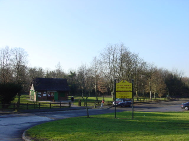
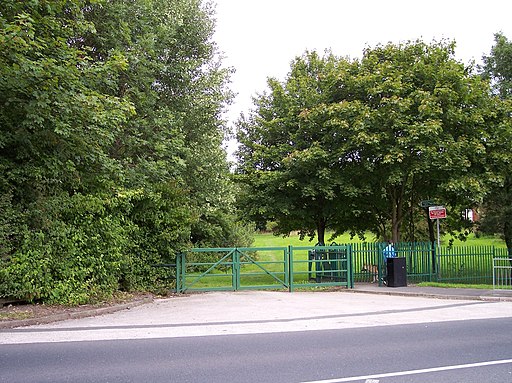
Visitor Centre and car park, Stadt Moers Park. Entrance to the park and the Visitor Centre on Pottery Lane, Whiston once the site of Latham's farm named after local 16th century landowners.
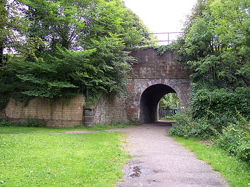
This part of Stadt Moers Park is called Tushingham after Henry Tushingham who founded a brickworks here in the 1890's, the bricks being made from locally extracted clay and shale. Prior to this there had been a colliery on the land. The brickworks closed in the 1970's and the land was sold to Knowsley council who used it as a landfill site until 1983 when it was decided to reclaim the land and transform it into a country park. The park is accessed by a tunnel beneath the Liverpool to Manchester railway line which can be seen to the left of the photo.
