West Country Way
![]()
![]() This long distance cycle route takes you from the city of Bristol to the Cornish coast at Bude.
This long distance cycle route takes you from the city of Bristol to the Cornish coast at Bude.
On the way you will pass through some beautiful Somerset, Devon and Cornish countryside.
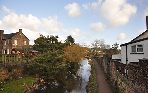
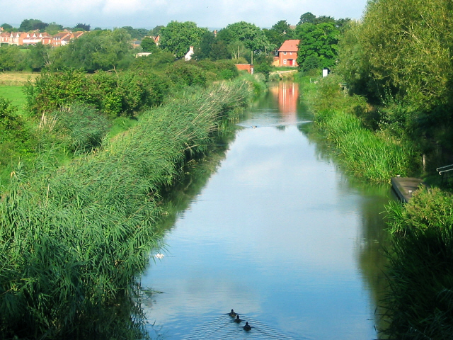
Highlights include waterside sections along the Bridgwater and Taunton Canal, the Grand Western Canal and the lovely Chew Valley Lake near Glastonbury.
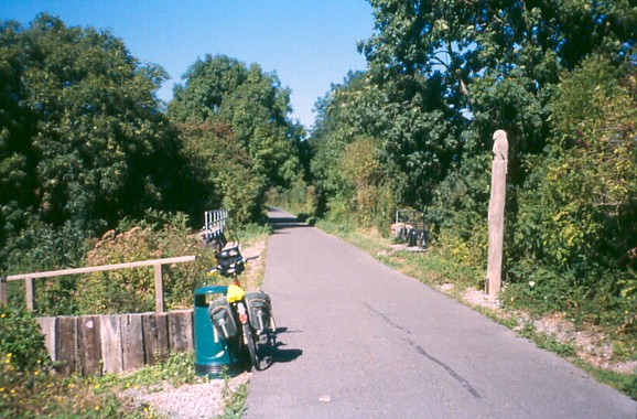
There's also traffic free sections along disused railways such as the Tarka Trail in the Exmoor National Park.
Much of the route uses National Cycle Route 3, a signed Sustrans route. This will take you onto Land's End if you would like to extend the ride.
West Country Way Ordnance Survey Map  - view and print off detailed OS map
West Country Way Open Street Map  - view and print off detailed map
West Country Way OS Map  - Mobile GPS OS Map with Location tracking
West Country Way Open Street Map  - Mobile GPS Map with Location tracking
Further Information and Other Local Ideas
The Somerset Space Walk runs along the towpath of the Bridgwater canal. The route is lined with a number of interesting sculptures representing the planets of the Solar System. You can see the scale model of the sun at Maunsel Lock and the description panels next to the sculptures to find out more.
Cycle Routes and Walking Routes Nearby
Photos
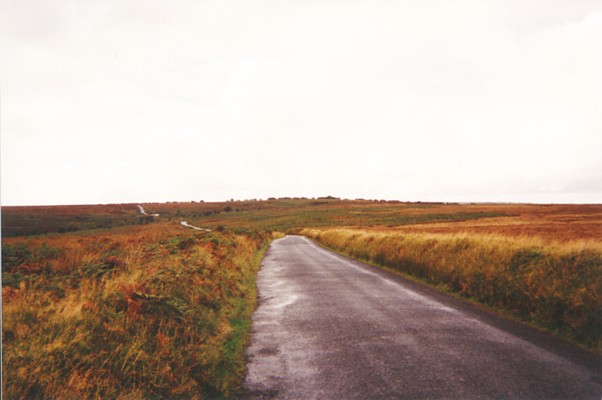
Long Holcombe on Exmoor. This is on the West Country Way, route 3 of the National Cycle Network. It climbs from Dulverton onto Exmoor, passes the Sportman's Inn, and then drops down towards Barnstaple. It turned very wet while I was on top of the moor, and what was fascinating was seeing the rain clouds mass over Dartmoor in the distance and head relentlessly in my direction. And did it rain! It was bouncing a good nine inches into the air as it hit the road.


